Djebel Chélia

Gallery (1)
Map
Map
Facts and practical information
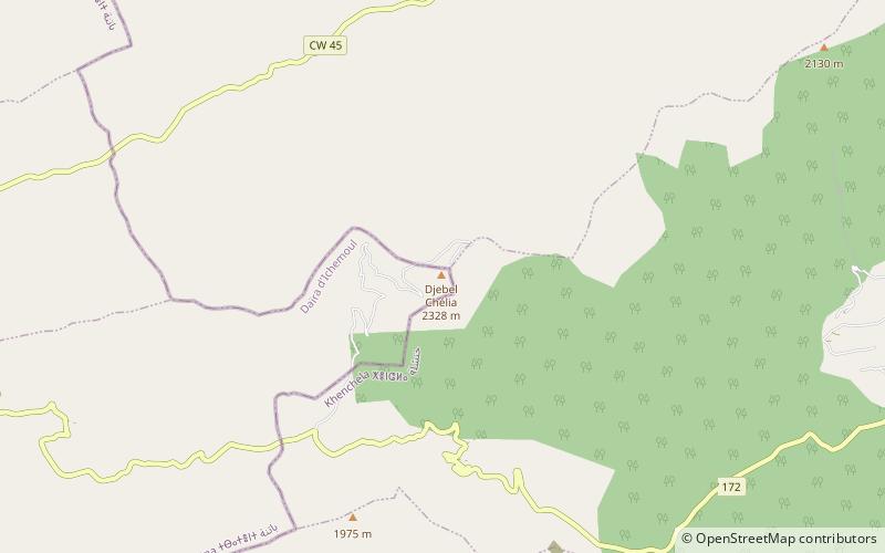
Djebel Chélia is a mountain in Algeria. It is the highest point in the Aurès Mountains which straddle the border between Algeria and Tunisia, and it is the second highest peak in Algeria after Mount Tahat. Djebel Chélia is situated in the west of Khenchela, in Bouhmama county. Abiod Valley begins at the foot of Djebel Chélia. ()
Location
Batna
ContactAdd
Social media
Add
Day trips
Djebel Chélia – popular in the area (distance from the attraction)
Nearby attractions include: Aurès Mountains.
