Oroncota
Map
Facts and practical information
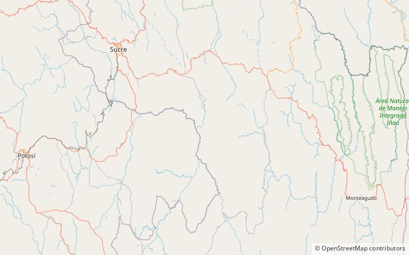
Oroncota or Huruncuta was an Inca provincial center or capital on the border of Chuquisaca and Potosí Departments of Bolivia. Oroncota was captured by the Incas during the reign of Topa Inca Yupanqui and served as a defensive outpost protecting the eastern frontiers of the Inca empire. The primary residents of the Oronta area for more than 1,500 years have been the Yampara people. In the 16th century, during the last years of the Inca Empire and the early Spanish Empire, Oroncota and its region were under heavy attack by the Ava Guarani people ethnic group who eventually gained control of the area. ()
Coordinates: 19°30'34"S, 64°51'3"W
Location
Potosí
ContactAdd
Social media
Add
Day trips
Oroncota – popular in the area (distance from the attraction)
Nearby attractions include: Q'illu Qisqa.