Nicoya Peninsula

Gallery (1)
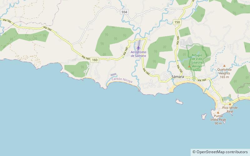
Map
Map
Facts and practical information
The Nicoya Peninsula is a peninsula on the Pacific coast of Costa Rica. It is divided into two provinces: Guanacaste Province in the north, and the Puntarenas Province in the south. It is located at 10°N 85.4166667°W / 10; -85.4166667. It varies from 19 to 37 miles wide and is approximately 75 miles long, forming the largest peninsula in the country. It is known for its beaches and is a popular tourist destination. ()
Location
Guanacaste
ContactAdd
Social media
Add
Day trips

