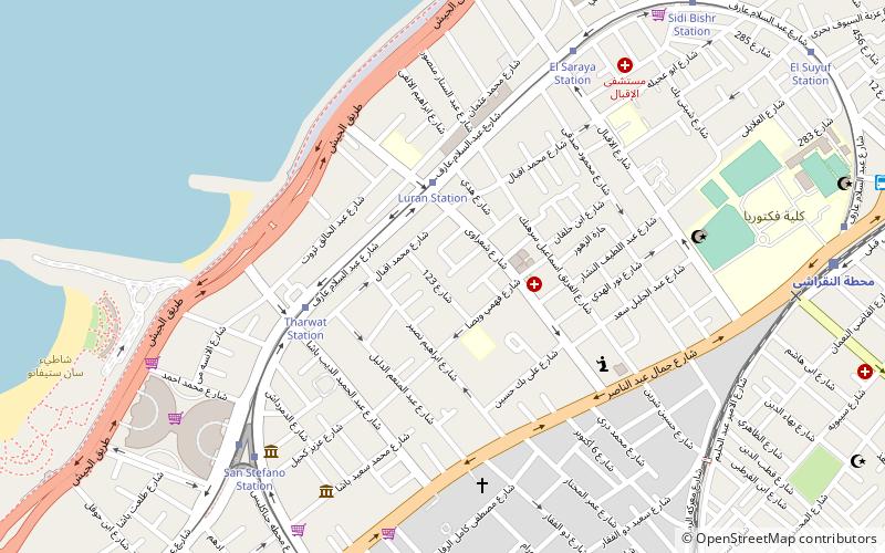
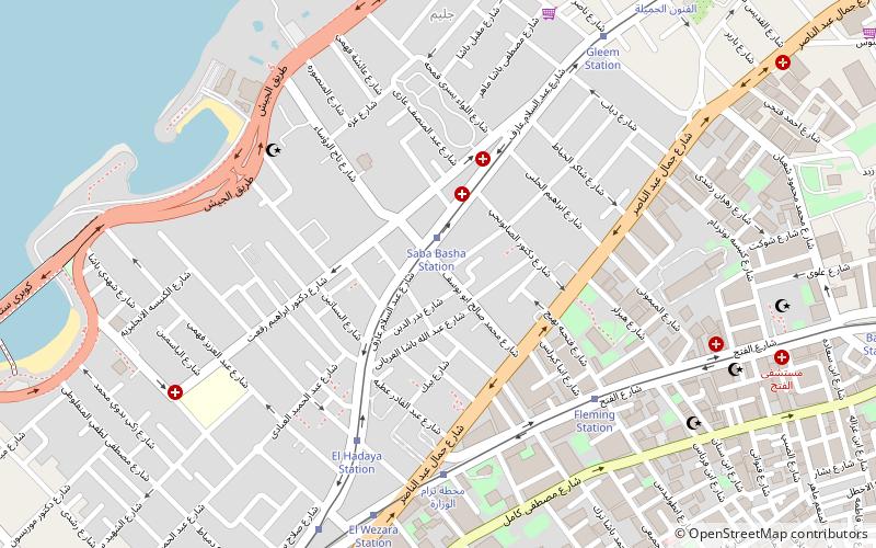
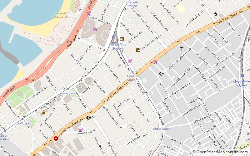
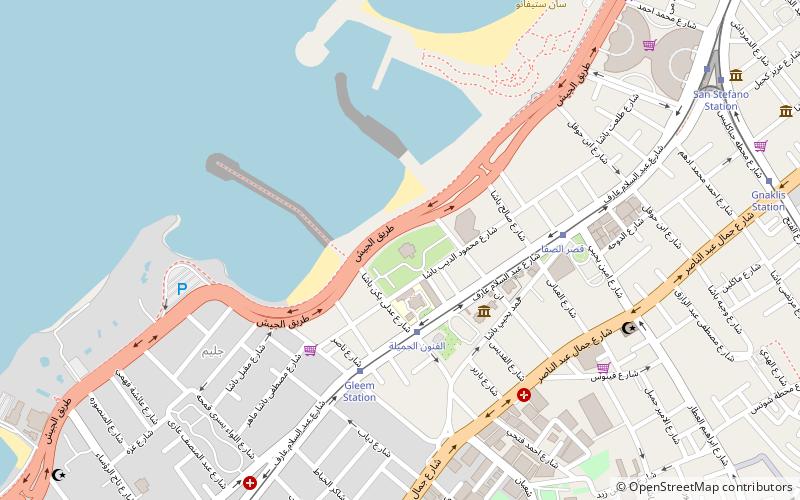
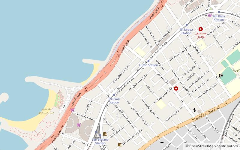
Louran, Alexandria
Karte
Fakten und Informationen
Laurens ist ein wohlhabendes Viertel in Alexandria. Das Viertel bestand hauptsächlich aus Villen, die jetzt nach und nach abgerissen werden, um Platz für Wohntürme zu schaffen.
Koordinaten: 31°14'53"N, 29°58'19"E
Adresse
Alexandria
KontaktHinzufügen
Soziale Medien
Hinzufügen
Zugang mit öffentlichen Verkehrsmitteln
Haltestellen der öffentlichen Verkehrsmittel in der Nähe des Standorts
- Busse
- Straßenbahnen
- Bahn
 Busse
Busse
- Bestimmen Sie die RouteLuran Station 3 Min. Fußweg
- Bestimmen Sie die RouteTharwat Station 5 Min. Fußweg
- Bestimmen Sie die RouteSan Stefano Station 8 Min. Fußweg
- Bestimmen Sie die RouteEl Saraya 8 Min. Fußweg
- Bestimmen Sie die RouteFactoria-Mahatet Masr 11 Min. Fußweg
- Bestimmen Sie die RouteFactoria- Manchyaa 11 Min. Fußweg
- Bestimmen Sie die RouteFactoria-Mandarah 14 Min. Fußweg
- Bestimmen Sie die RouteFactoria - Sidi Beshr 14 Min. Fußweg
- Bestimmen Sie die RouteAl-Noqrashi 12 Min. Fußweg
- Bestimmen Sie die Routeمحطة الرمل الميري 12 Min. Fußweg
- Bestimmen Sie die RouteGheprial 19 Min. Fußweg
- Bestimmen Sie die RouteBakous 27 Min. Fußweg
Tagesausflüge


Häufig gestellte Fragen (FAQ)
Welche beliebten Attraktionen gibt es in der Nähe?
Zu den nahe gelegenen Attraktionen gehören. Tharwat, Alexandria (4 Min. Fußweg), San Stefano, Alexandria (4 Min. Fußweg), El Saraya, Alexandria (7 Min. Fußweg), Gianaclis, Alexandria (11 Min. Fußweg).
Wie kommt man mit öffentlichen Verkehrsmitteln dorthin?
Bahnhöfe und Haltestellen in der Umgebung von Louran:
Straßenbahnen
Busse
Bahn
Straßenbahnen
- Luran Station (3 Min. Fußweg)
- Tharwat Station (5 Min. Fußweg)
Busse
- Factoria-Mahatet Masr (11 Min. Fußweg)
- Factoria- Manchyaa (11 Min. Fußweg)
Bahn
- Al-Noqrashi (12 Min. Fußweg)
- محطة الرمل الميري (12 Min. Fußweg)