Laughing Bird Caye

Galerie (1)
Karte
Karte
Fakten und Informationen
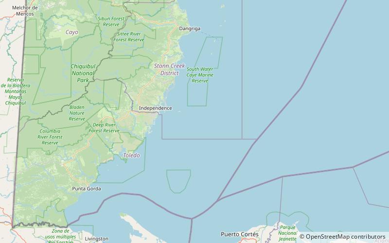
Laughing Bird Caye ist eine Insel vor der Küste von Belize. Sie gehört zu den etwa 450 Inseln des Belize Barrier Reefs. Verwaltungstechnisch gehört sie zum Stann Creek District. ()
Andere Namen: Etabliert: 1991 (vor 35 Jahren)Unesco: von 1996Oberfläche: 16.6 mi²Höhe: 0 ft ü. d. M.Koordinaten: 16°27'47"N, 88°11'51"W
Lokalisierung
Stann Creek
KontaktHinzufügen
Soziale Medien
Hinzufügen