Trek Zone

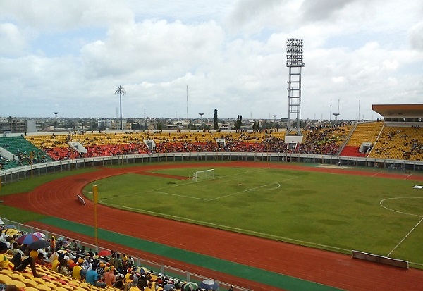
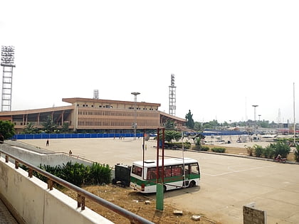
Stade de l’Amitié, Cotonou

Nr. 2 unter den Attraktionen in Cotonou

Arenen und Stadien, Sportstätte, Sport
Stade de l’Amitié

Fakten und Informationen

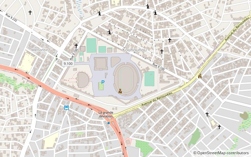
Lokaler Name: Stade de l'Amitié Koordinaten: 6°23'10"N, 2°22'46"E
Adresse

Rue 2651Cotonou Benin

KontaktHinzufügen
Soziale Medien
Hinzufügen
Tagesausflüge

Stade de l’Amitié – beliebt in der gegend (entfernung vom objekt)

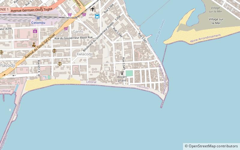
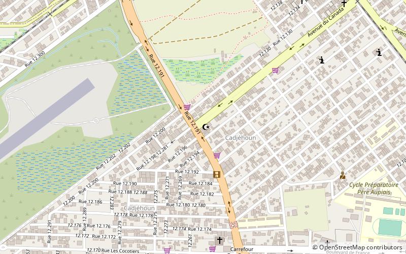
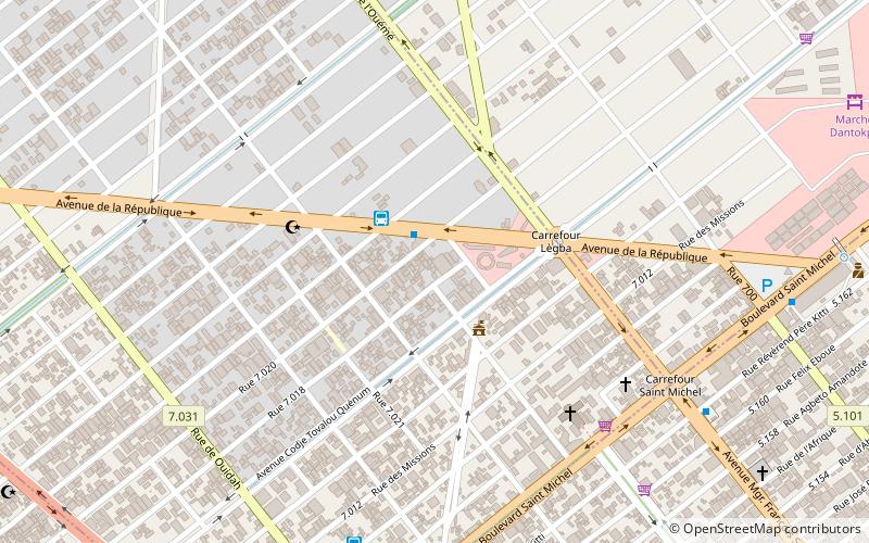
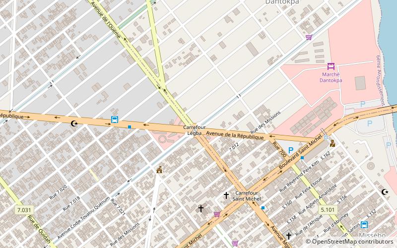
In der Nähe befinden sich unter anderem Attraktionen wie: Dantokpa Market, Cotonou Cathedral, Ancien Pont, Cotonou Lighthouse.

  • dantokpa market cotonou3.9 miE
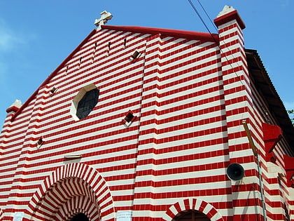
  • cotonou cathedral4.6 miSE
  • ancien pont cotonou4.7 miSE
  • cotonou lighthouse location map
    4.9 miSE
  • cotonou central mosque location map
    2.1 miSE
  • 10th arrondissement of the littoral department cotonou location map
    3.3 miE
  • 2nd arrondissement of the littoral department cotonou location map
    3.5 miE
  • 13th arrondissement of the littoral department cotonou location map
    3.5 miE
  • 7th arrondissement of the littoral department cotonou location map
    3.5 miE
  • 5th arrondissement of the littoral department cotonou location map
    3.5 miE
  • 8th arrondissement of the littoral department cotonou location map
    3.5 miE

Häufig gestellte Fragen (FAQ)

Wie kommt man mit öffentlichen Verkehrsmitteln dorthin?

Bahnhöfe und Haltestellen in der Umgebung von Stade de l’Amitié:

Busse
  • Confort Lines (8 Min. Fußweg)
  • Gare routière (11 Min. Fußweg)

Wohin als nächstes? Gehen Sie auf die Seite der Region littoral Littoral oder sehen Sie sich alle Orte und Sehenswürdigkeiten in Benin an.

BeninAliboriAtakoraAtlantiqueBorgouCollinesDongaKouffoLittoralMonoOuéméPlateauZou