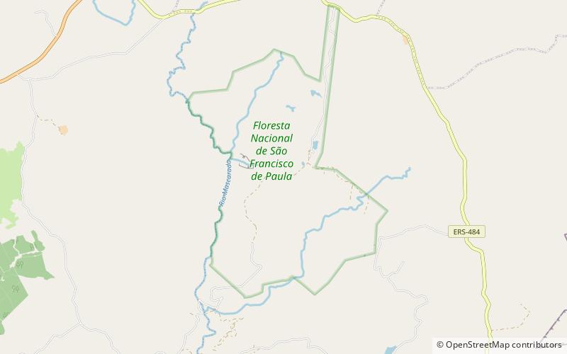
São Francisco de Paula National Forest

Galerie (1)
Karte
Karte
Fakten und Informationen
Der São Francisco de Paula National Forest ist ein nationaler Wald im Bundesstaat Rio Grande do Sul, Brasilien.
Lokaler Name: Floresta Nacional de São Francisco de Paula Etabliert: 1968 (vor 58 Jahren)Oberfläche: 6.24 mi²Höhe: 2884 ft ü. d. M.Koordinaten: 29°25'44"S, 50°23'35"W
Lokalisierung
Rio Grande do Sul
KontaktHinzufügen
Soziale Medien
Hinzufügen