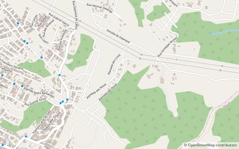
Trek Zone

Cidade Tiradentes

Nr. 416 in der Beliebtheitsskala in Brasilien

Nachbarschaft
Cidade Tiradentes location map
Karte

Fakten und Informationen

Cidade Tiradentes ist einer von 96 Bezirken in der Stadt São Paulo, Brasilien.

Andere Namen: Oberfläche: 5.79 mi²Koordinaten: 23°37'5"S, 46°24'25"W
Lokalisierung

São PauloBrasilien

KontaktHinzufügen
Soziale Medien
Hinzufügen
Tagesausflüge

Cidade Tiradentes – beliebt in der gegend (entfernung vom objekt)

In der Nähe befinden sich unter anderem Attraktionen wie: Arena Corinthians, SESC Itaquera, Carmo Planetarium, Mauá.

  • arena corinthians sao paulo6.6 miNW
  • sesc itaquera sao paulo4.8 miNW
  • carmo planetarium sao paulo4.4 miNW
  • maua santo andre location map
    4.6 miSW
  • parque do carmo sao paulo location map
    4.7 miNW
  • estadio municipal pedro benedetti location map
    5.3 miSW
  • sao rafael location map
    3.1 miW
  • cidade lider sao paulo location map
    6 miNW
  • iguatemi location map
    1.4 miW
  • capuava location map
    4.9 miW

Wohin als nächstes? Gehen Sie auf die Seite der Region sao paulo São Paulo oder sehen Sie sich alle Orte und Sehenswürdigkeiten in Brasilien an.