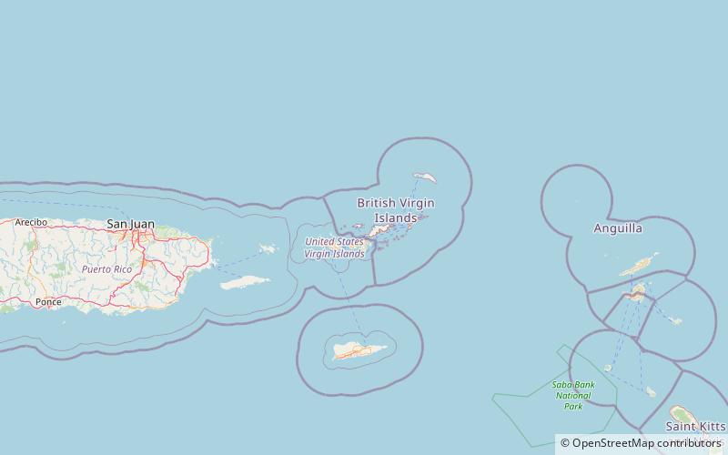
Trek Zone

Diamond Cay

Nr. 4 in der Beliebtheitsskala auf den Britische Jungferninseln

Park, Entspannen im Park
Diamond Cay location map
Karte

Fakten und Informationen

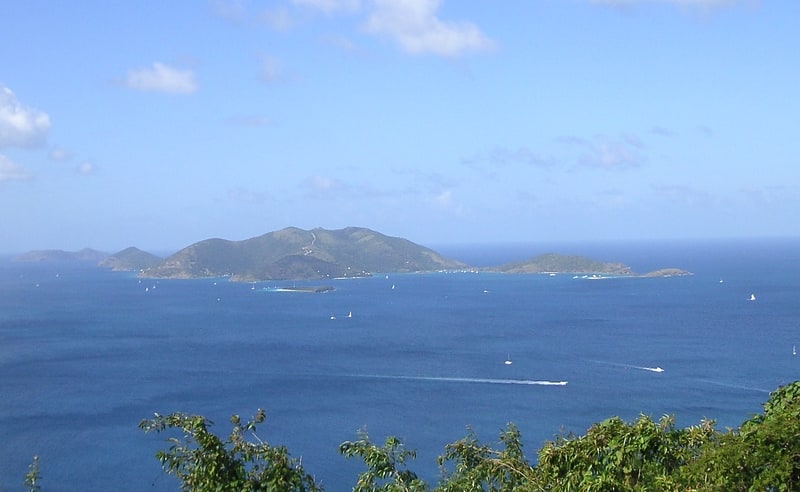
Diamond Cay ist ein winziges Eiland vor Jost Van Dyke auf den Britischen Jungferninseln in der Karibik. Bei Ebbe ist sie durch eine Sandbank mit Jost Van Dyke verbunden. Sie wurde 1991 zum Nationalpark erklärt. Der Diamond Cay National Park bietet Pelikanen, Seeschwalben und Tölpeln Lebensraum zum Nisten.

Archipel: Virgin IslandsHöhe: 0 ft ü. d. M.Koordinaten: 18°25'60"N, 64°43'0"W
Lokalisierung

Jost Van DykeBritische Jungferninseln

Kontakt
Soziale Medien
Hinzufügen
Tagesausflüge

Diamond Cay – beliebt in der gegend (entfernung vom objekt)

In der Nähe befinden sich unter anderem Attraktionen wie: Mount Sage National Park, Fort Recovery, Fort Purcell, Jost Van Dyke.

  • mount sage national park tortola4.9 miSE
  • fort recovery tortola4.2 miSE
  • fort purcell tortola5.1 miSE
  • jost van dyke2.4 miW
  • mount healthy windmill tortola5.1 miE
  • sandy cay location map
    0.5 miNE

Wohin als nächstes? Gehen Sie auf die Seite der Region jost van dyke Jost Van Dyke oder sehen Sie sich alle Orte und Sehenswürdigkeiten auf den Britische Jungferninseln an.