Anholt Kirke, Anholt

Galerie (1)
Karte
Karte
Fakten und Informationen
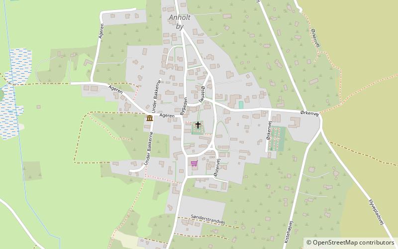
Anholt Kirke (Adresse: Østervej 14) ist eine Attraktion in Anholt (Region Midtjylland) und gehört zur Kategorie Kirche.
Es liegt auf einer Höhe von 33 ft, und seine geographischen Koordinaten sind 56°42'13"N Breite und 11°32'40"E Länge.
Koordinaten: 56°42'13"N, 11°32'40"E