Communauté d’agglomération des Hauts-de-Bièvre, Paris

Fakten und Informationen
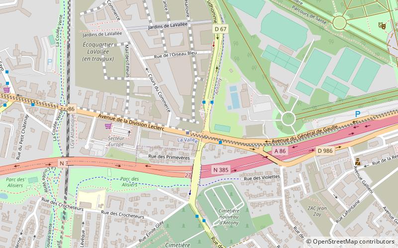
Die Communauté d’agglomération des Hauts-de-Bièvre ist ein ehemaliger französischer Gemeindeverband mit der Rechtsform einer Communauté d’agglomération in den Départements Hauts-de-Seine und Essonne der Region Île-de-France. Sie wurde am 23. Oktober 2002 gegründet und umfasste sieben Gemeinden. Der Verwaltungssitz befand sich im Ort Antony. Der Name des Gemeindeverbandes nahm Bezug auf die Bièvre, einen Nebenfluss der Seine, der mehrere der Mitgliedsgemeinden durchfließt. ()
Paris
Communauté d’agglomération des Hauts-de-Bièvre – beliebt in der gegend (entfernung vom objekt)
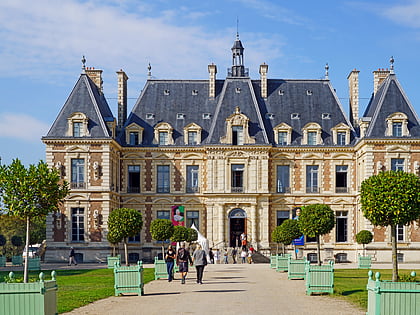
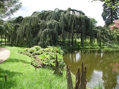
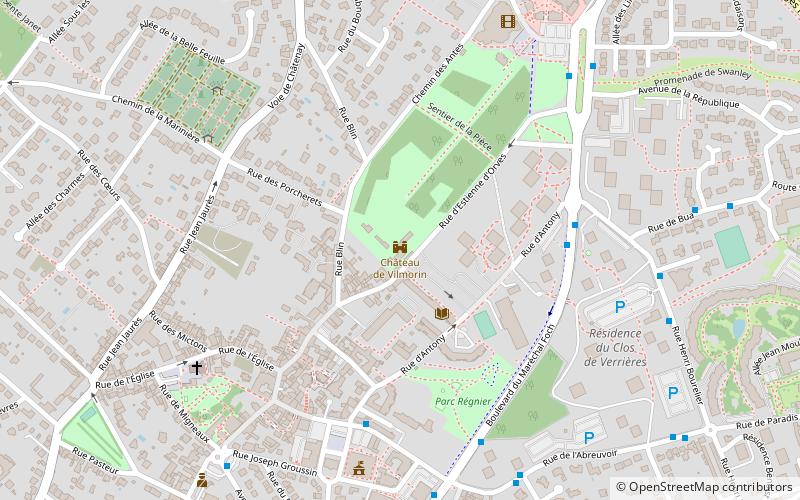
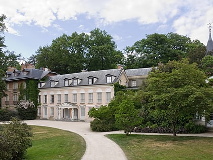
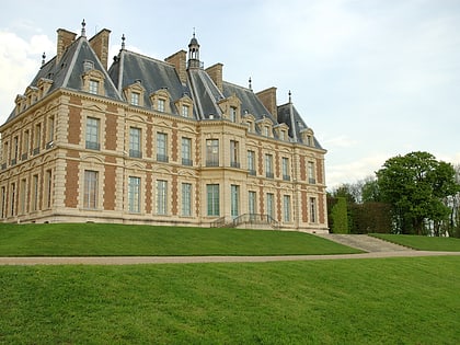
In der Nähe befinden sich unter anderem Attraktionen wie: Parc de Sceaux, Arboretum de la Vallée-aux-Loups, Arboretum municipal de Verrières-le-Buisson, Château de Vilmorin.
Häufig gestellte Fragen (FAQ)
Welche beliebten Attraktionen gibt es in der Nähe?
Wie kommt man mit öffentlichen Verkehrsmitteln dorthin?
Busse
- Carrefour de l'Europe • Linien: 379, 395, 4, N62 (2 Min. Fußweg)
Bahn
- La Croix de Berny (17 Min. Fußweg)
- Parc de Sceaux (28 Min. Fußweg)
Stadtbahn
- Antony (17 Min. Fußweg)

 Metro
Metro