Trek Zone

Kouvaras

Nr. 1113 in der Beliebtheitsskala in Griechenland

Dorf
Kouvaras location map
Karte

Fakten und Informationen

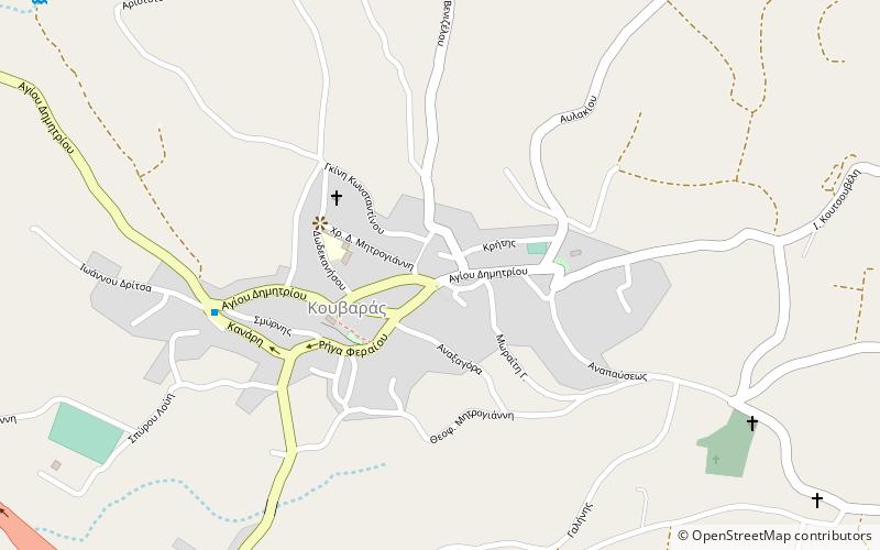
Kouvaras ist ein Dorf und eine ehemalige Gemeinde in Ost-Attika, Griechenland. Seit der Kommunalreform 2011 ist es Teil der Gemeinde Saronikos, zu der es als Gemeindeeinheit gehört. Die Gemeinde hat eine Fläche von 24,371 km2.

Andere Namen: Bevölkerung: 1.4 Tsd. (2019)Koordinaten: 37°49'42"N, 23°58'11"E
Lokalisierung

AttikaGriechenland

Kontakt
Soziale Medien
Hinzufügen
Tagesausflüge

Kouvaras – beliebt in der gegend (entfernung vom objekt)

In der Nähe befinden sich unter anderem Attraktionen wie: Avlaki, Kalyvia Thorikou, Keratea, Saronida.

  • avlaki porto rafti4.7 miNE
  • kalyvia thorikou2.9 miW
  • keratea1.5 miSE
  • saronida6.5 miSW
  • markopoulo olympic equestrian centre location map
    3.4 miN
  • koropi7.2 miNW
  • markopoulo olympic shooting centre location map
    4.5 miNW
  • markopoulo mesogaias location map
    4.3 miNW

Wohin als nächstes? Gehen Sie auf die Seite der Region attica Attika oder sehen Sie sich alle Orte und Sehenswürdigkeiten in Griechenland an.