Cinderford Ironworks, Forest of Dean
Karte
![Cinderford Ironworks location map](https://tzmedia.b-cdn.net/media/images/static-maps/gb/51_8137_-2_50858.jpg)
Karte
![Cinderford Ironworks location map](https://tzmedia.b-cdn.net/media/images/static-maps/gb/51_8137_-2_50858.jpg)
Fakten und Informationen
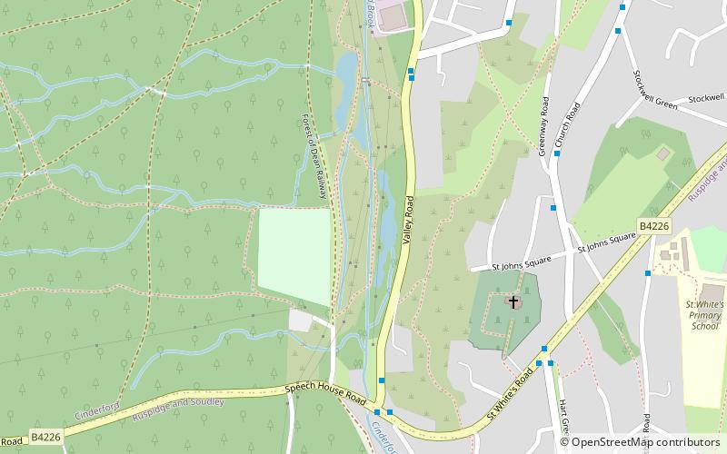
Cinderford Ironworks, auch bekannt als Cinderford Furnace, war ein koksbefeuerter Hochofen, der 1795 westlich von Cinderford im Forest of Dean, Gloucestershire, England, errichtet wurde.
Koordinaten: 51°48'49"N, 2°30'31"W
Adresse
Forest of Dean
KontaktHinzufügen
Soziale Medien
Hinzufügen
Tagesausflüge
Cinderford Ironworks – beliebt in der gegend (entfernung vom objekt)
In der Nähe befinden sich unter anderem Attraktionen wie: Laymoor Quag, Woorgreens Lake and Marsh, Cinderford, Foxes Bridge Bog.