Moor Bridge tram stop, Nottingham


Fakten und Informationen
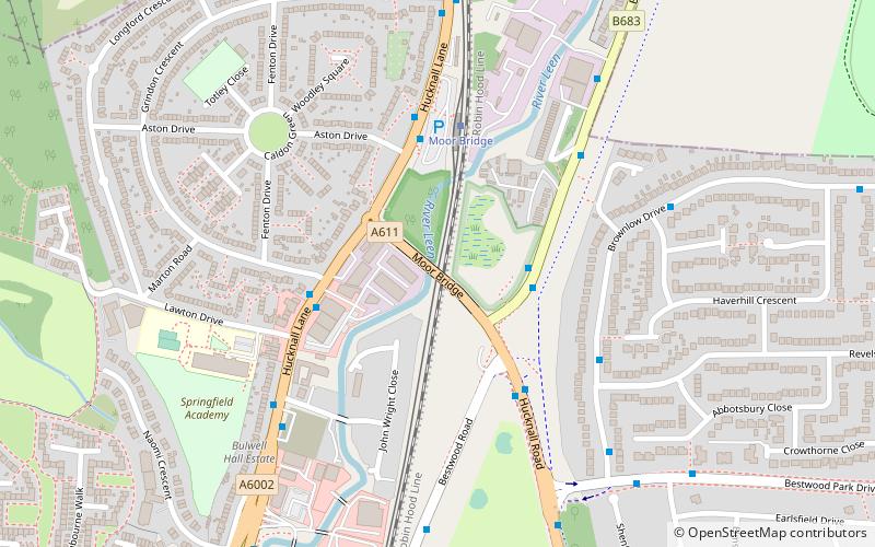
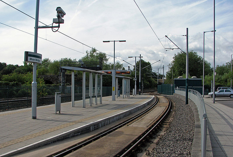
Moor Bridge ist eine Straßenbahnhaltestelle des Nottingham Express Transit Stadtbahnsystems in der Stadt Nottingham im Vorort Bulwell. Sie ist Teil des ursprünglichen Systems der NET und befindet sich auf dem langen einspurigen Abschnitt zwischen den Haltestellen Bulwell und Hucknall, der entlang der Robin Hood-Bahnlinie verläuft. Wie alle anderen Zwischenhaltestellen auf diesem Abschnitt verfügt die Haltestelle über eine Überholschleife mit einem Inselbahnsteig, der zwischen den beiden Gleisen der Schleife liegt.
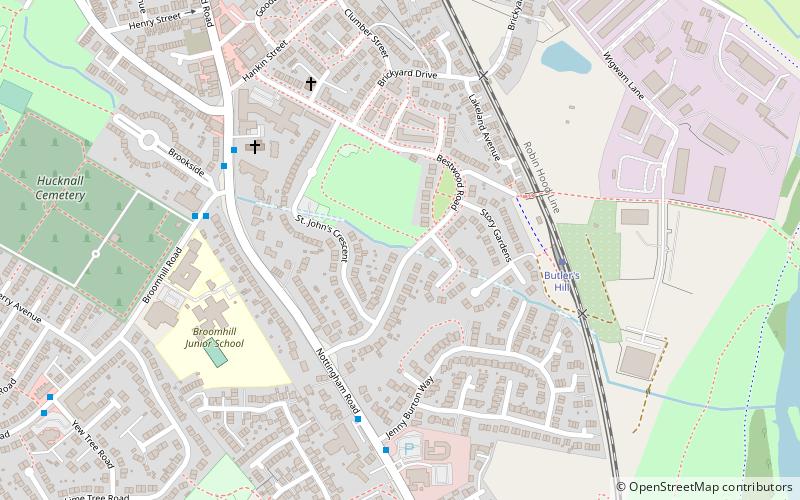
Moor Bridge ist eine von mehreren Park-and-Ride-Haltestellen des NET-Netzes mit mehr als 100 Parkplätzen in der Nähe der Haltestelle. Sie ist die nördlichste Haltestelle in der Stadt Nottingham, während Butler's Hill, die nächste Haltestelle im Norden, im Bezirk Ashfield liegt.
Mit der Eröffnung der zweiten NET-Phase liegt Moor Bridge nun an der NET-Linie 1, die von Hucknall durch das Stadtzentrum nach Beeston und Chilwell führt. Die Straßenbahnen verkehren je nach Tag und Tageszeit in einer Frequenz von 4 bis 8 Zügen pro Stunde...
BulwellNottingham
Moor Bridge tram stop – beliebt in der gegend (entfernung vom objekt)
In der Nähe befinden sich unter anderem Attraktionen wie: Church of St John the Divine, Leen Valley, Church of St John the Evangelist, Church of St Mary the Virgin and All Souls.
Häufig gestellte Fragen (FAQ)
Welche beliebten Attraktionen gibt es in der Nähe?
Wie kommt man mit öffentlichen Verkehrsmitteln dorthin?
Busse
- Moorbridge Ponds • Linien: 141, 728 (2 Min. Fußweg)
- Lawton Drive • Linien: 728, 79, L6 (3 Min. Fußweg)
Straßenbahnen
- Moor Bridge • Linien: 1 (4 Min. Fußweg)
- Bulwell Forest • Linien: 1 (13 Min. Fußweg)
Bahn
- Bulwell (26 Min. Fußweg)


