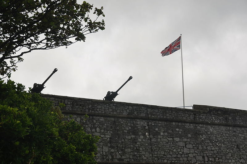
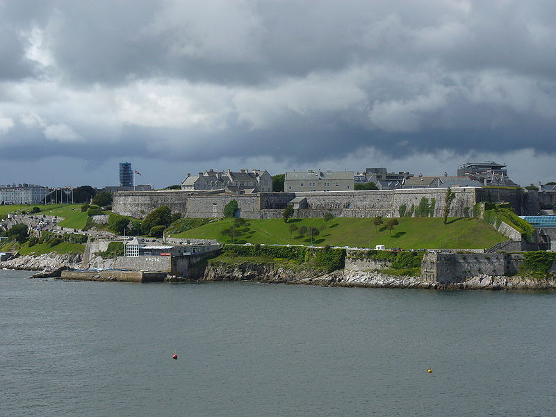
Zitadelle von Plymouth, Plymouth
Karte
Galerie
Fakten und Informationen
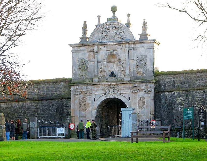
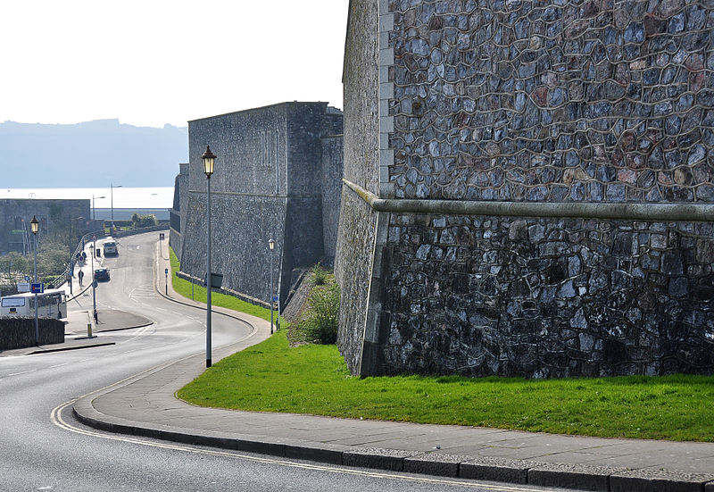
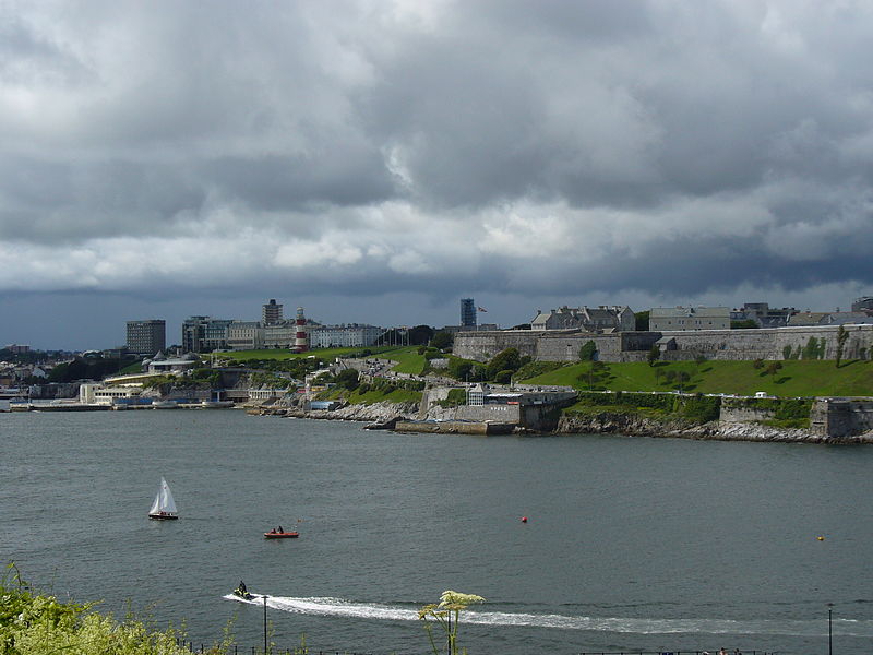
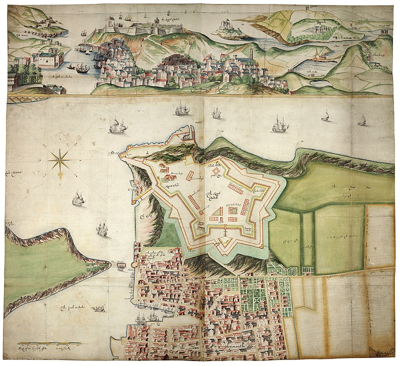
Die Zitadelle von Plymouth ist eine Festung in der Grafschaft Devon in Großbritannien. Die Zitadelle liegt auf einer Anhöhe oberhalb der Stadt Plymouth. ()
Gebaut: 1592 (vor 434 Jahren)Koordinaten: 50°21'53"N, 4°8'16"W
Adresse
Royal Citadel Madeira RoadSt. Peter and the WaterfrontPlymouth PL1 2PD
Kontakt
+44 7876 402728
Soziale Medien
Hinzufügen
Tagesausflüge
Zitadelle von Plymouth – beliebt in der gegend (entfernung vom objekt)
In der Nähe befinden sich unter anderem Attraktionen wie: Drake Circus, Smeaton's Tower, National Marine Aquarium, Plymouth Hoe.
Häufig gestellte Fragen (FAQ)
Wie sind die Öffnungszeiten?
Zitadelle von Plymouth ist geöffnet:
- Montag 2:30 pm - 4:30 pm
- Dienstag 2:30 pm - 4:30 pm
- Mittwoch geschlossen
- Donnerstag 2:30 pm - 4:30 pm
- Freitag geschlossen
- Samstag geschlossen
- Sonntag 2:30 pm - 4:30 pm
Welche beliebten Attraktionen gibt es in der Nähe?
Zu den nahe gelegenen Attraktionen gehören. Fortifications of Plymouth, Plymouth (1 Min. Fußweg), Royal Chapel of St Katherine-upon-the-Hoe, Plymouth (2 Min. Fußweg), Plymouth Castle, Plymouth (5 Min. Fußweg), Plymouth Hoe, Plymouth (5 Min. Fußweg).
Wie kommt man mit öffentlichen Verkehrsmitteln dorthin?
Bahnhöfe und Haltestellen in der Umgebung von Zitadelle von Plymouth:
Busse
Bahn
Busse
- Royal Parade • Linien: 11, 21A, 44, 44A, 8, 9, X11 (12 Min. Fußweg)
- Derry's Cross Coach Stop • Linien: X11 (14 Min. Fußweg)
Bahn
- Plymouth (25 Min. Fußweg)


