Staffordshire Way


Fakten und Informationen
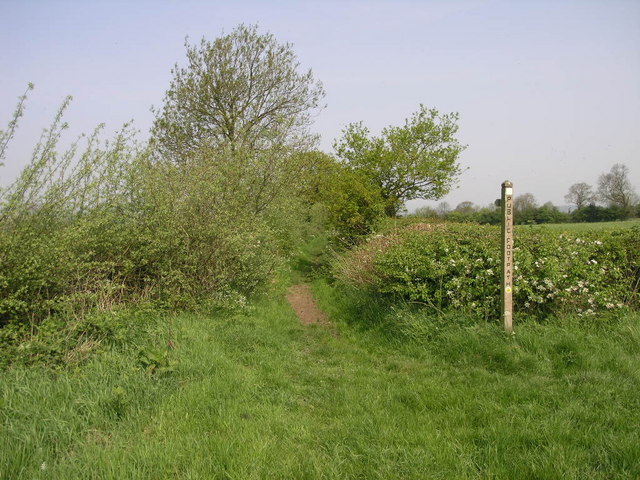
Der Staffordshire Way ist ein malerischer Wanderweg im Vereinigten Königreich, der sich durch die abwechslungsreiche Landschaft der Grafschaft Staffordshire zieht. Mit einer Gesamtlänge von etwa 153 Kilometern bietet der Weg Naturfreunden und Wanderbegeisterten die Möglichkeit, die idyllische englische Landschaft zu Fuß zu erkunden.
Der Weg, der in den 1970er Jahren eröffnet wurde, führt durch sanfte Hügel, ruhige Wälder, historische Dörfer und vorbei an malerischen Flussläufen. Besonders reizvoll ist die Vielfalt der Landschaften, die von den Moorlandschaften der Staffordshire Moorlands bis hin zu den friedlichen Ufern des Flusses Trent reichen.
Wanderer können auf dem Staffordshire Way nicht nur die natürliche Schönheit genießen, sondern auch kulturelle Highlights entdecken, wie zum Beispiel die alten Marktstädte Leek und Uttoxeter oder die imposanten Ruinen der Croxden Abbey.
Die Route ist gut ausgeschildert und lässt sich in mehrere Etappen unterteilen, was sowohl Tagesausflüge als auch längere Wanderungen ermöglicht. Einige Abschnitte des Weges sind auch für Radfahrer zugänglich, was den Staffordshire Way zu einem beliebten Ziel für unterschiedlichste Outdoor-Aktivitäten macht.
England
Staffordshire Way – beliebt in der gegend (entfernung vom objekt)
In der Nähe befinden sich unter anderem Attraktionen wie: Shugborough Hall, Church of the Holy Angels, Chartley Castle, Deutsche Kriegsgräberstätte Cannock Chase.


