Viking Way
Fakten und Informationen
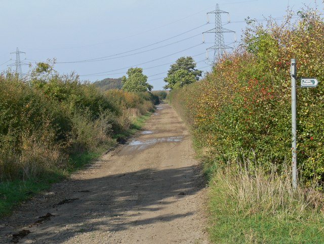
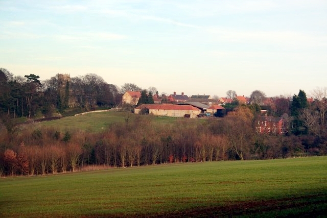
Der Viking Way ist ein malerischer Fernwanderweg im Vereinigten Königreich, der sich über eine Strecke von etwa 235 Kilometern erstreckt. Dieser Weg führt Wanderer durch die abwechslungsreiche Landschaft der Grafschaften Lincolnshire und Rutland, vorbei an sanften Hügeln, offenen Feldern und durch ruhige Wälder. Der Pfad wurde nach den Wikingern benannt, die einst diese Region besiedelten und ihre Spuren in der lokalen Geschichte hinterlassen haben.
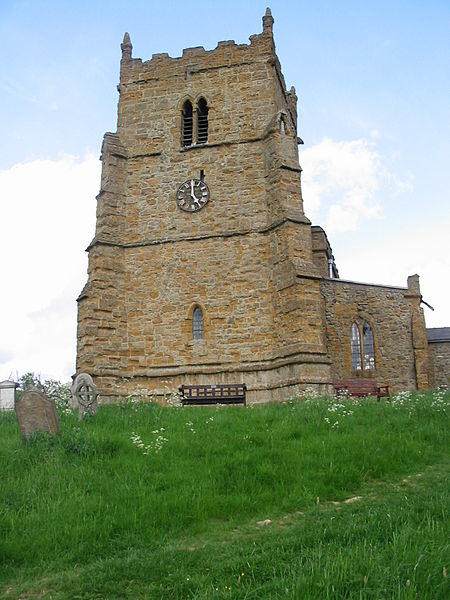
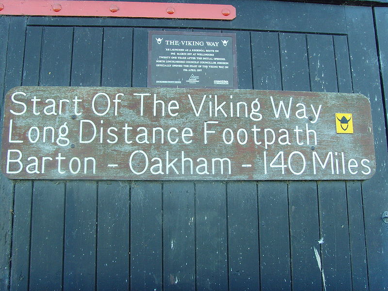
Der Viking Way beginnt in der historischen Stadt Barton-upon-Humber, nahe der beeindruckenden Humber Bridge, und endet in Oakham, der Grafschaftshauptstadt von Rutland. Der Weg ist in mehrere Etappen unterteilt, die jeweils einzigartige Einblicke in die Natur und Geschichte der Region bieten. Wanderer können auf dem Weg Ruinen alter Burgen und Klöster, idyllische Dörfer und sogar prähistorische Denkmäler entdecken.
Als Fernwanderweg ist der Viking Way besonders gut ausgeschildert und gepflegt, sodass er sich sowohl für erfahrene Langstreckenwanderer als auch für Tagesausflügler eignet. Entlang der Route gibt es zahlreiche Übernachtungsmöglichkeiten, von gemütlichen Bed & Breakfasts bis hin zu Campingplätzen, die es den Wanderern ermöglichen, ihre Reise individuell zu gestalten.
England
Viking Way – beliebt in der gegend (entfernung vom objekt)
In der Nähe befinden sich unter anderem Attraktionen wie: Jubilee Park Swimming Pool, Cottage Museum, Nocton Hall, Thorpe Park.


