Trek Zone

Prinsted, Southbourne
Nr. 1 unter den Attraktionen in Southbourne

Strand
Prinsted

Fakten und Informationen

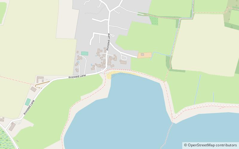
Prinsted (Adresse: Prinsted Lane) ist eine Attraktion in Southbourne (Königreich England) und gehört zur Kategorie Strand.

Es liegt auf einer Höhe von 7 ft, und seine geographischen Koordinaten sind 50°50'24"N Breite und 0°54'46"W Länge.

Weitere sehenswerte Orte und Attraktionen in der Nähe sind unter anderem: Brook Meadow, Emsworth (Park, 31 Min. Fußweg), St John the Baptist's Church (Kirche, 40 Min. Fußweg), Loddon Nature Reserve, South-Downs-Nationalpark (Natürliche Anziehungskraft, 54 Min. Fußweg).

Koordinaten: 50°50'24"N, 0°54'46"W
Adresse

Prinsted LaneSouthbourne Großbritannien

Kontakt
Soziale Medien
Hinzufügen
Tagesausflüge

Prinsted – beliebt in der gegend (entfernung vom objekt)

In der Nähe befinden sich unter anderem Attraktionen wie: Holy Trinity Church, Bosham Sailing Club, Racton Monument, Southmoor Nature Reserve.

  • holy trinity church bosham2.4 miE
  • bosham sailing club2.4 miE
  • racton monument sussex downs aonb2.8 miN
  • southmoor nature reserve havant3.4 miW
  • west hayling hayling island3.4 miW
  • langstone bridge havant3 miW
  • warblington castle havant2.4 miW
  • stansted park sussex downs aonb3.3 miN
  • langstone windmill hayling island2.9 miW
  • st john the baptists church1.6 miNW
  • warblington meadow havant2.3 miW

Wohin als nächstes? Gehen Sie auf die Seite der Region england England oder sehen Sie sich alle Orte und Sehenswürdigkeiten in Großbritannien an.