Bedford Autodrome
Karte
Fakten und Informationen
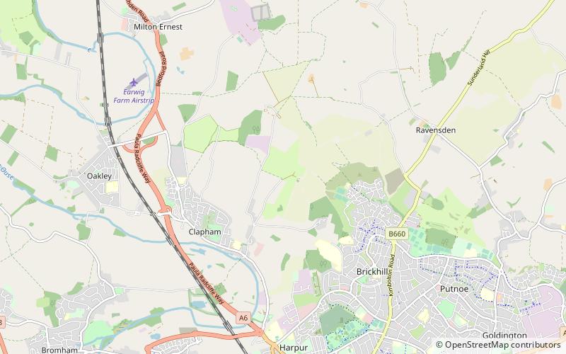
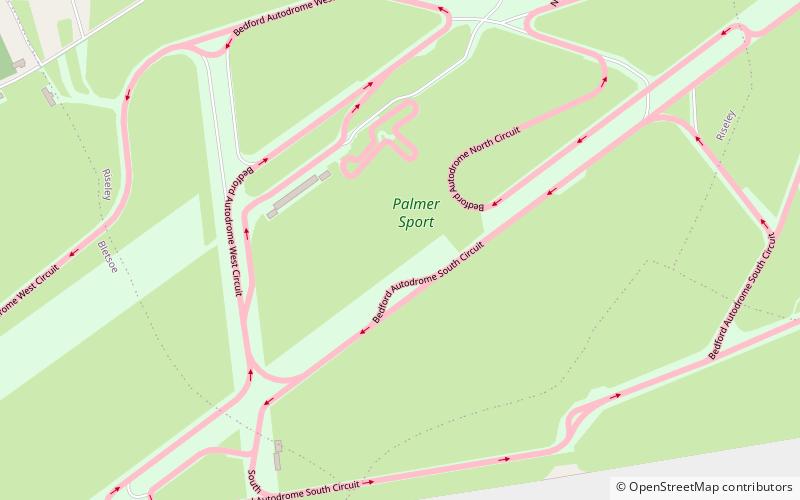
Bedford Autodrome ist ein Teststrecke in Thurleigh nördlich von Bedford, England. Sie gehört dem früheren Formel-1-Rennfahrer Jonathan Palmer. Sie wurde im Jahre 1994 fertiggestellt. ()
Lokalisierung
England
KontaktHinzufügen
Soziale Medien
Hinzufügen
Tagesausflüge
Bedford Autodrome – beliebt in der gegend (entfernung vom objekt)
In der Nähe befinden sich unter anderem Attraktionen wie: Santa Pod Raceway, Bedford & County Golf Club, Church of St Mary, Church of St Thomas of Canterbury.