Moors for the Future Community Science Project, Edale


Fakten und Informationen
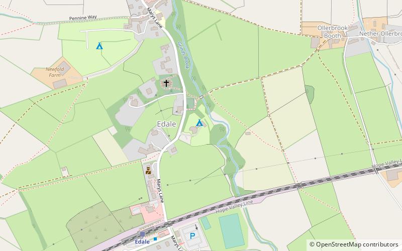
Moors for the Future Community Science Project (Adresse: The Moorland Centre) ist eine Attraktion in Edale (Königreich England) und gehört zur Kategorie Besichtigung.
Es liegt auf einer Höhe von 814 ft, und seine geographischen Koordinaten sind 53°22'3"N Breite und 1°48'53"W Länge.
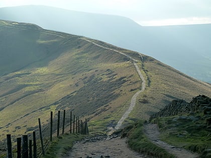
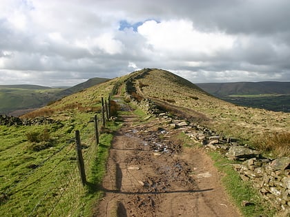
Weitere sehenswerte Orte und Attraktionen in der Nähe sind unter anderem: The Church of the Holy and Undivided Trinity (Kirche, 2 Min. Fußweg), Pennine Way (Wandern, 6 Min. Fußweg), Hollins Cross, Peak District (Natur, 26 Min. Fußweg).
Moors for the Future Community Science Project – beliebt in der gegend (entfernung vom objekt)
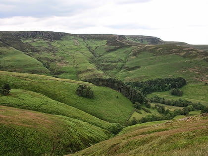
In der Nähe befinden sich unter anderem Attraktionen wie: Pennine Way, Hollins Cross, The Church of the Holy and Undivided Trinity, Grindslow Knoll.


