Black country ring

Karte
Fakten und Informationen
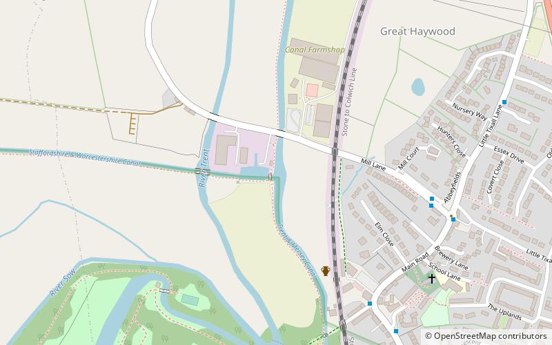
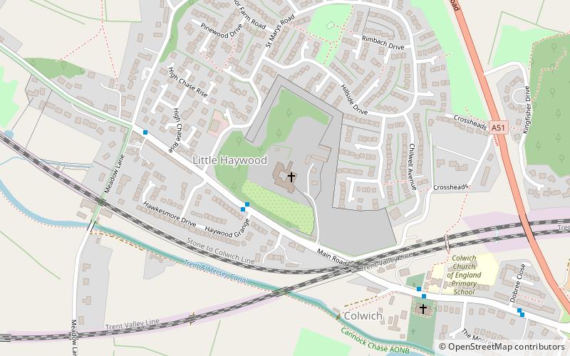
Der Black Country Ring ist ein britischer Kanalring, der aus dem Staffordshire and Worcestershire Canal, der Birmingham Main Line, dem Birmingham and Fazeley Canal, dem Coventry Canal und dem Trent and Mersey Canal besteht.
Länge: 75 miKoordinaten: 52°48'15"N, 2°0'32"W
Lokalisierung
England
KontaktHinzufügen
Soziale Medien
Hinzufügen
Tagesausflüge
Black country ring – beliebt in der gegend (entfernung vom objekt)
In der Nähe befinden sich unter anderem Attraktionen wie: Shugborough Hall, Staffordshire County Museum, Essex Bridge, Haywood Junction.


