Trek Zone

Fontburn

Nr. 4640 in der Beliebtheitsskala in Großbritannien

Natur, Natürliche Anziehungskraft, See
Fontburn

Fakten und Informationen

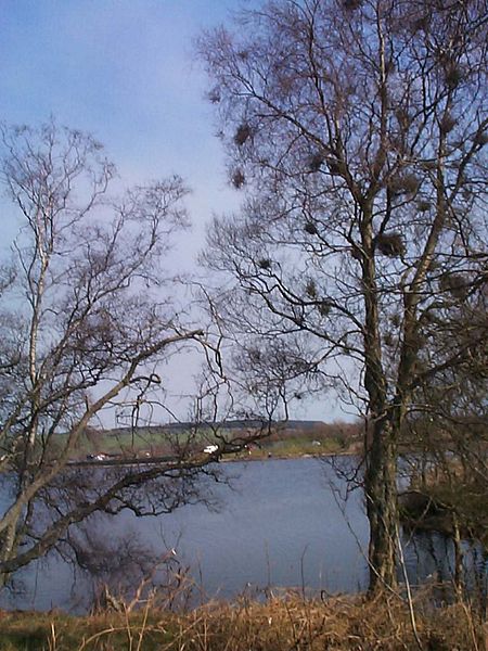
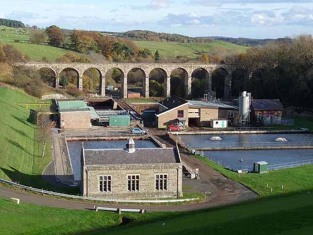
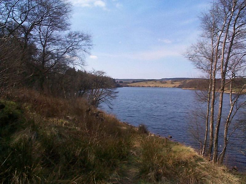
Fontburn ist ein Trinkwasserreservoir, das 10 Meilen nordwestlich der Marktstadt Morpeth und unmittelbar östlich des Harwood Forest in Northumberland, England, liegt.

Höhe: 627 ft ü. d. M.Koordinaten: 55°14'10"N, 1°55'52"W
Lokalisierung

EnglandGroßbritannien

KontaktHinzufügen
Soziale Medien
Hinzufügen
Tagesausflüge

Fontburn – beliebt in der gegend (entfernung vom objekt)

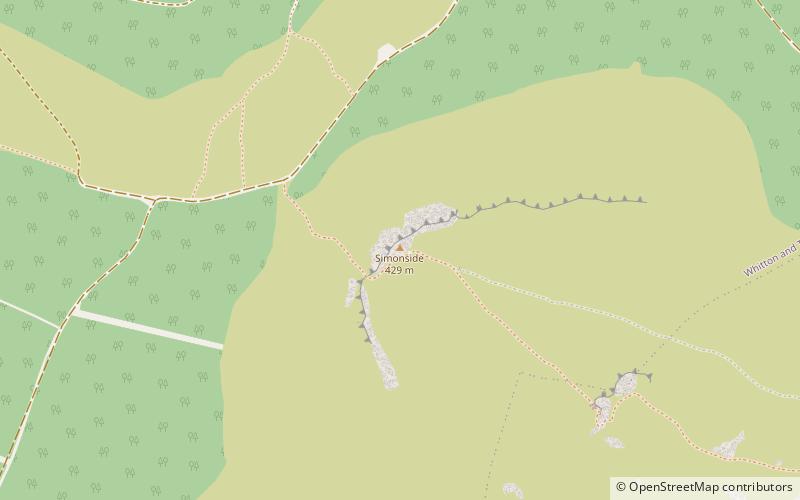
In der Nähe befinden sich unter anderem Attraktionen wie: Cragside, Brinkburn Priory, Simonside Hills, Cragend Silo.

  • cragside rothbury5.6 miN
  • brinkburn priory rothbury5.3 miNE
  • simonside hills northumberland nationalpark location map
    3.5 miN
  • cragend silo rothbury5.3 miNE
  • tosson hill northumberland nationalpark3.8 miNW
  • hartburn war memorial5.4 miSE
  • rothley castle3 miS
  • high cove northumberland nationalpark location map
    6.2 miNW

Wohin als nächstes? Gehen Sie auf die Seite der Region england England oder sehen Sie sich alle Orte und Sehenswürdigkeiten in Großbritannien an.