Frithy and Chadacre Woods
Karte
![Frithy and Chadacre Woods location map](https://tzmedia.b-cdn.net/media/images/static-maps/gb/52_1588_0_72919.jpg)
Karte
![Frithy and Chadacre Woods location map](https://tzmedia.b-cdn.net/media/images/static-maps/gb/52_1588_0_72919.jpg)
Fakten und Informationen
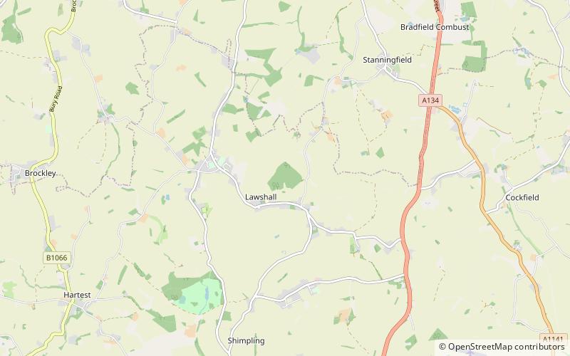
Frithy and Chadacre Woods ist ein 28,7 Hektar großes biologisches Gebiet von besonderem wissenschaftlichen Interesse in den Gemeinden Lawshall und Shimpling in Suffolk, England.
Koordinaten: 52°9'32"N, 0°43'45"E
Lokalisierung
England
KontaktHinzufügen
Soziale Medien
Hinzufügen
Tagesausflüge
Frithy and Chadacre Woods – beliebt in der gegend (entfernung vom objekt)
In der Nähe befinden sich unter anderem Attraktionen wie: Kentwell Hall, Ickworth House, St Peter and St Paul's Church, Holy Trinity Church.