Wealdway
Nr. 1266 in der Beliebtheitsskala in Großbritannien

Fakten und Informationen
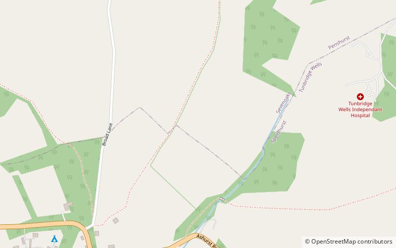
Der Wealdway, Kent und East Sussex, ist ein öffentlicher Wanderweg, der über 83 Meilen / 134 km von Gravesend, Kent an der Themsemündung, bis zur A259 bei Eastbourne, 3 km nördlich von Beachy Head, verläuft.
EnglandGroßbritannien
Wealdway – beliebt in der gegend (entfernung vom objekt)
In der Nähe befinden sich unter anderem Attraktionen wie: High Rocks, Harrison's Rocks, Penshurst Place, St John the Baptist.
 Aktivitäten im Freien, Klettern
High Rocks, Royal Tunbridge Wells
61 Min. Fußweg • High Rocks ist ein 3,2 Hektar großes geologisches Gebiet von besonderem wissenschaftlichen Interesse westlich von Tunbridge Wells in East Sussex und Kent. Es ist ein geologisches Schutzgebiet.
 Klettern
Harrison's Rocks
61 Min. Fußweg • Harrison's Rocks ist ein Sandsteinfelsen etwa 1,5 km südlich des Dorfes Groombridge in der Grafschaft East Sussex. Der Ort ist ein bemerkenswertes Beispiel für eine periglaziale Tor-Landform, die sich in den Felsen des Ardingly Sandstone Member der...
 Historischer Ort, Historisches Museum, Museum
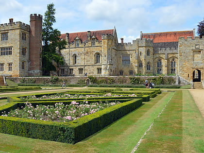
Penshurst Place, Tonbridge
74 Min. Fußweg • Penshurst Place ist ein Herrenhaus bei Tonbridge in der englischen Grafschaft Kent, südöstlich von London. Dort wohnte früher die Familie Sidney und der große Dichter, Höfling und Soldat aus elisabethanischer Zeit, Sir Philip Sidney, wurde hier geboren.
 Kirche
St John the Baptist
72 Min. Fußweg • Die St. John the Baptist Church in Penshurst, Kent, ist eine anglikanische Pfarrkirche in der Diözese Rochester in England, die unter Denkmalschutz steht. Zu den Personen, die hier begraben sind oder deren gedacht wird, gehören Ritter, Grafen...
 Theater, Kirche, Konzerte und Veranstaltungen
Trinity Theatre, Royal Tunbridge Wells
93 Min. Fußweg • Das Trinity Theatre ist ein Theater- und Kunstzentrum, das sich in der ehemaligen Holy Trinity Church im Zentrum von Royal Tunbridge Wells, Kent, befindet.
 Konzerte und Veranstaltungen, Darstellende Künste, Theater
Assembly Hall Theatre, Royal Tunbridge Wells
96 Min. Fußweg • Das Assembly Hall Theatre ist ein Theater in Tunbridge Wells mit 1.020 Plätzen. Das Theater bietet eine Vielzahl von Veranstaltungen in den Bereichen populäre Musik, Komödie, Familie, Tanz, Drama, klassische Musik und Varieté sowie eine jährliche...
 Kirche, Gotisch-revivalistische Architektur
St Paul's Church, Royal Tunbridge Wells
66 Min. Fußweg • St Paul's Church ist eine Pfarrkirche der Church of England in Rusthall, Kent, England. Sie ist ein denkmalgeschütztes Gebäude der Stufe II.
 Herrenhaus
Poundsbridge Manor, High Weald Area of Outstanding Natural Beauty
46 Min. Fußweg • Poundsbridge Manor, das den Spitznamen "The Picture House" trägt, ist ein Fachwerkhaus aus Eichenholz, das 1593 von John und Brian Durtnall für ihren Vater William, Rektor von Penshurst von 1563 bis 1596, erbaut wurde.
 Nachtleben, Musik und Veranstaltungen, Theater
The Forum, Royal Tunbridge Wells
90 Min. Fußweg • Das Forum ist ein unabhängiges Musiklokal in Royal Tunbridge Wells, Kent, England, mit einer Kapazität von 250 Stehplätzen. Der Veranstaltungsort wurde 1993 eröffnet, nachdem das Gebäude zuvor eine öffentliche Toilette gewesen war.
 Garten, Historischer Ort, Natur und Tierwelt
Groombridge Place, Royal Tunbridge Wells
31 Min. Fußweg • Groombridge Place ist ein von einem Wassergraben umgebenes Herrenhaus aus dem 17. Jahrhundert in der Ortschaft Groombridge und liegt nur wenige Kilometer südwestlich von Tunbridge Wells in der Grafschaft Kent, England.
 Einkaufen
The Pantiles, Royal Tunbridge Wells
90 Min. Fußweg • The Pantiles ist eine georgianische Kolonnade in der Stadt Royal Tunbridge Wells, Kent, England. Früher als "The Walks" und "Parade" bekannt, führt sie von dem Brunnen aus, der der Stadt ihren Namen gab.