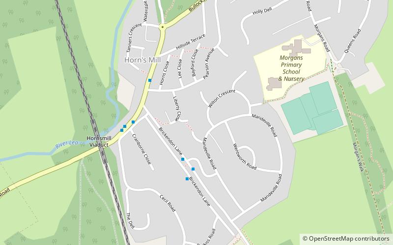
Horns Mill, Hertford
Karte
Fakten und Informationen
Horns Mill ist ein Gebiet und Vorort von South Hertford, Hertfordshire.
Koordinaten: 51°47'10"N, 0°5'2"W
Adresse
Hertford
KontaktHinzufügen
Soziale Medien
Hinzufügen
Zugang mit öffentlichen Verkehrsmitteln
Haltestellen der öffentlichen Verkehrsmittel in der Nähe des Standorts
- Busse
- Bahn
 Busse
Busse
- Bestimmen Sie die RouteCounty Hospital 21 Min. Fußweg
- Bestimmen Sie die RouteBus Station 23 Min. Fußweg
- Bestimmen Sie die RouteHertford Bus Station 23 Min. Fußweg
- Bestimmen Sie die RouteHertford North 25 Min. Fußweg
- Bestimmen Sie die RouteHertford East 27 Min. Fußweg
Tagesausflüge


Häufig gestellte Fragen (FAQ)
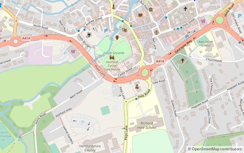
Welche beliebten Attraktionen gibt es in der Nähe?
Zu den nahe gelegenen Attraktionen gehören. County Hall, Hertford (9 Min. Fußweg), Willowmead, Hertford (17 Min. Fußweg), All Saints' Church, Hertford (19 Min. Fußweg), St Andrew Street, Hertford (20 Min. Fußweg).
Wie kommt man mit öffentlichen Verkehrsmitteln dorthin?
Bahnhöfe und Haltestellen in der Umgebung von Horns Mill:
Busse
Bahn
Busse
- County Hospital • Linien: 724 (21 Min. Fußweg)
- Bus Station • Linien: 10, 724 (23 Min. Fußweg)
Bahn
- Hertford North (25 Min. Fußweg)
- Hertford East (27 Min. Fußweg)