Trek Zone

Harford Railway Cutting, Bourton-on-the-Water
Nr. 6 unter den Attraktionen in Bourton-on-the-Water

Besichtigung
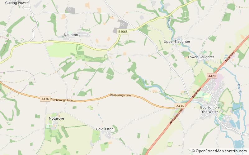
Harford Railway Cutting location map
Karte

Fakten und Informationen

Harford Railway Cutting ist ein 1,2 Hektar großes geologisches Gebiet von besonderem wissenschaftlichem Interesse in Gloucestershire, das 1974 gemeldet wurde. Das Gebiet ist im lokalen Plan für den Bezirk Cotswold als regional bedeutendes geologisches Gebiet aufgeführt.

Koordinaten: 51°53'42"N, 1°48'16"W
Adresse

Bourton-on-the-Water Großbritannien

KontaktHinzufügen
Soziale Medien
Hinzufügen
Tagesausflüge

Harford Railway Cutting – beliebt in der gegend (entfernung vom objekt)

In der Nähe befinden sich unter anderem Attraktionen wie: Oxfordshire Way, Birdland Park and Gardens, St Edward's Church, Cotswold Motoring Museum.

  • oxfordshire way bourton on the water2.1 miE
  • birdland park and gardens bourton on the water2.4 miSE
  • st edwards church barton on the heath4.2 miNE
  • cotswold motoring museum bourton on the water2.1 miE
  • st michaels and all angels church cotswold water park3 miNW
  • maugersbury manor barton on the heath location map
    4.4 miNE
  • cotswold perfumery bourton on the water2.1 miE
  • lower swell war memorial cotswold water park3.3 miNE
  • lark wood cotswold water park3.3 miNW
  • icknield street bourton on the water1.7 miE
  • abbotswood barton on the heath4 miNE

Wohin als nächstes? Gehen Sie auf die Seite der Region england England oder sehen Sie sich alle Orte und Sehenswürdigkeiten in Großbritannien an.