Stoney Street, Nottingham
Karte

Karte

Fakten und Informationen
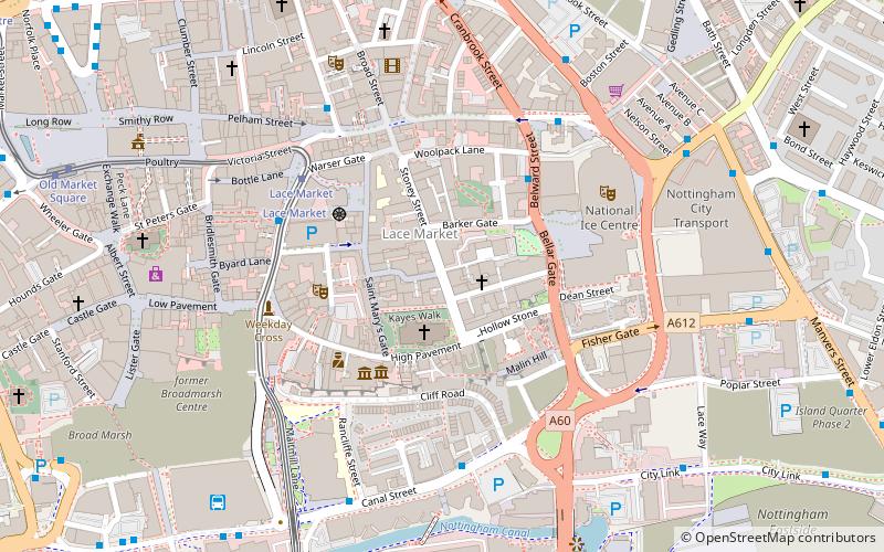
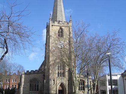
Stoney Street ist eine historische Straße im Stadtzentrum von Nottingham zwischen High Pavement und Carlton Street.
Koordinaten: 52°57'7"N, 1°8'34"W
Adresse
BridgeNottingham
KontaktHinzufügen
Soziale Medien
Hinzufügen
Tagesausflüge
Stoney Street – beliebt in der gegend (entfernung vom objekt)
In der Nähe befinden sich unter anderem Attraktionen wie: intu Broadmarsh, Nottingham Council House, National Ice Centre, City of Caves.
Häufig gestellte Fragen (FAQ)
Welche beliebten Attraktionen gibt es in der Nähe?
Zu den nahe gelegenen Attraktionen gehören. High Pavement Chapel, Nottingham (1 Min. Fußweg), Lace Market, Nottingham (1 Min. Fußweg), St Mary's Church, Nottingham (2 Min. Fußweg), Lace Market Theatre, Nottingham (2 Min. Fußweg).
Wie kommt man mit öffentlichen Verkehrsmitteln dorthin?
Bahnhöfe und Haltestellen in der Umgebung von Stoney Street:
Straßenbahnen
Busse
Bahn
Straßenbahnen
- Lace Market • Linien: 1, 2 (4 Min. Fußweg)
- Old Market Square • Linien: 1, 2 (9 Min. Fußweg)
Busse
- Fletcher Gate • Linien: 10, 11, 11C, 34, 5, 6, 7, 76, 77, 78, 79, 8, 9, Citylink 1, L1, N34, N77, W1 (4 Min. Fußweg)
- Canal Street • Linien: 50 (4 Min. Fußweg)
Bahn
- Nottingham (9 Min. Fußweg)


