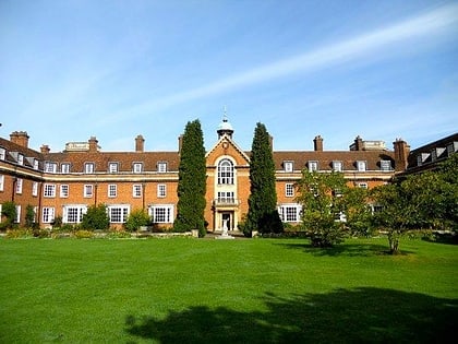
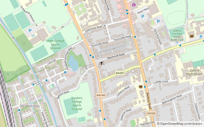
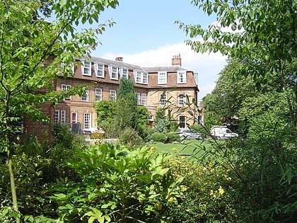
Moreton Road, Oxford
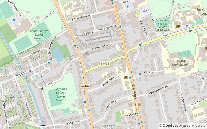
Karte
Karte

Fakten und Informationen
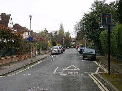
Moreton Road ist eine Wohnstraße im Oxforder Vorort North Oxford, Oxfordshire, Vereinigtes Königreich.
Koordinaten: 51°46'24"N, 1°15'56"W
Adresse
St. Margaret'sOxford
KontaktHinzufügen
Soziale Medien
Hinzufügen
Tagesausflüge
Moreton Road – beliebt in der gegend (entfernung vom objekt)
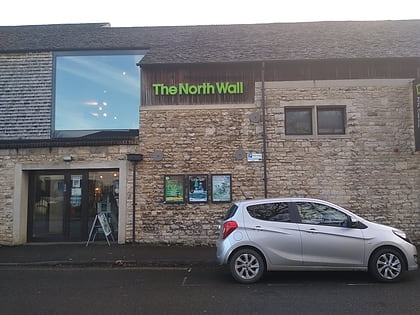
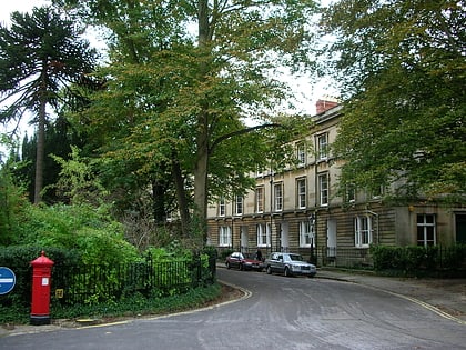
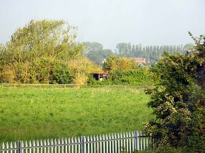
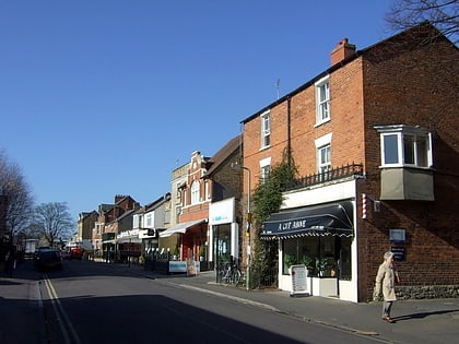
In der Nähe befinden sich unter anderem Attraktionen wie: North Wall Arts Centre, Park Town, Hook Meadow and The Trap Grounds, South Parade.
Häufig gestellte Fragen (FAQ)
Welche beliebten Attraktionen gibt es in der Nähe?
Zu den nahe gelegenen Attraktionen gehören. Lathbury Road, Oxford (2 Min. Fußweg), Woodstock Road Baptist Church, Oxford (2 Min. Fußweg), Staverton Road, Oxford (4 Min. Fußweg), Belbroughton Road, Oxford (6 Min. Fußweg).
Wie kommt man mit öffentlichen Verkehrsmitteln dorthin?
Bahnhöfe und Haltestellen in der Umgebung von Moreton Road:
Busse
Busse
- Ferry Pool Road • Linien: 14A (4 Min. Fußweg)
- Cherwell School • Linien: 14A (8 Min. Fußweg)

