Trek Zone

High Road, Attenborough Nature Reserve
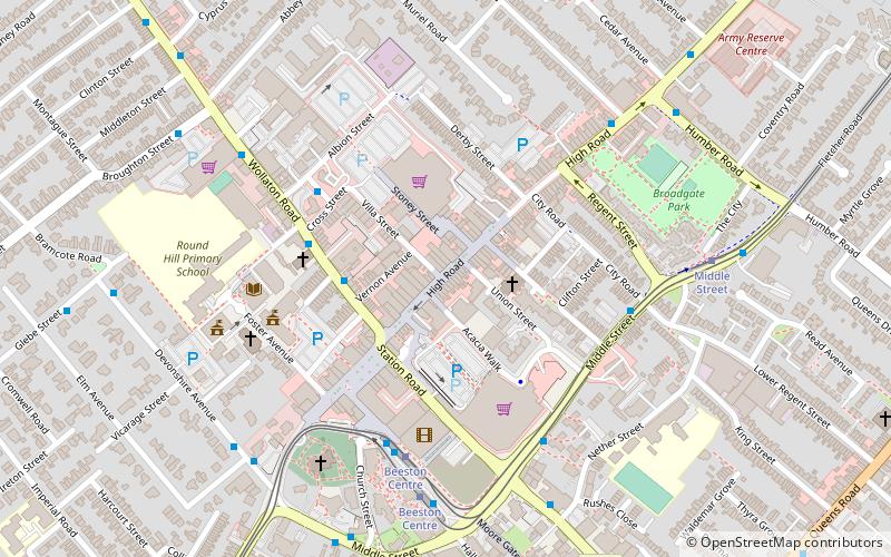
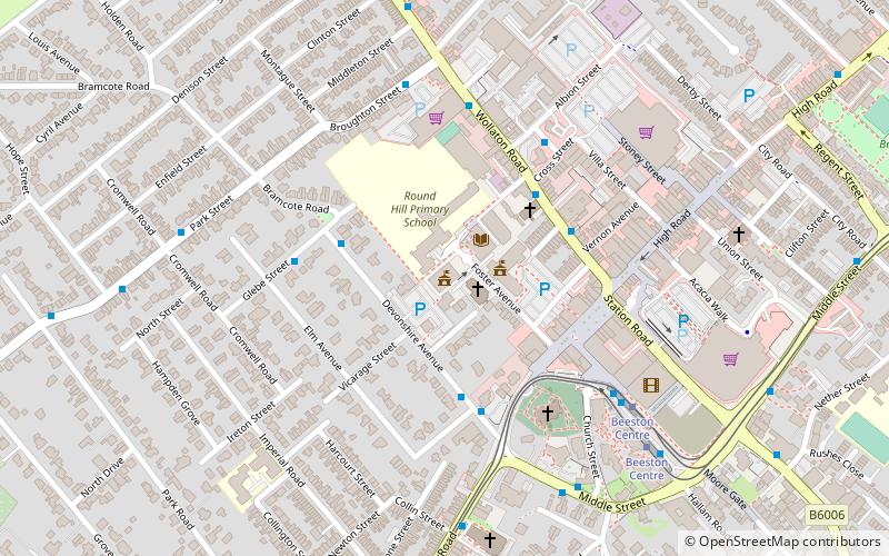
Nr. 2 unter den Attraktionen in Attenborough Nature Reserve

Innerortsstraße
High Road location map
Karte

Fakten und Informationen

High Road, Beeston ist eine Fußgängerzone in Beeston, Nottinghamshire. Sie verläuft vom Beeston Square zur Humber Road.

Koordinaten: 52°55'40"N, 1°12'51"W
Adresse

Attenborough Nature Reserve Großbritannien

KontaktHinzufügen
Soziale Medien
Hinzufügen
Tagesausflüge

High Road – beliebt in der gegend (entfernung vom objekt)

In der Nähe befinden sich unter anderem Attraktionen wie: Highfields Park, Nottingham Tennis Centre, Beeston Town Hall, Nottingham New Theatre.

  • highfields park nottingham1 miNE
  • nottingham tennis centre1.1 miNE
  • beeston town hall attenborough nature reserve location map
    ~990 ftW
  • nottingham new theatre1 miNE
  • st john the baptist church nottingham~950 ftSW
  • st barnabas church nottingham0.8 miN
  • hallward library nottingham1 miNE
  • beeston nottingham~900 ftSW
  • university of nottingham1 miNE
  • chilwell road methodist church nottingham~1520 ftSW
  • queens road methodist church nottingham~1970 ftE

Häufig gestellte Fragen (FAQ)

Welche beliebten Attraktionen gibt es in der Nähe?

Zu den nahe gelegenen Attraktionen gehören. Beeston, Nottingham (5 Min. Fußweg), St John the Baptist Church, Nottingham (5 Min. Fußweg), Beeston Town Hall, Attenborough Nature Reserve (5 Min. Fußweg), War Memorial Cross, Nottingham (6 Min. Fußweg).

Wohin als nächstes? Gehen Sie auf die Seite der Region england England oder sehen Sie sich alle Orte und Sehenswürdigkeiten in Großbritannien an.