London Borough of Bromley, Bromley
Karte
Fakten und Informationen
Der London Borough of Bromley ist ein Stadtbezirk von London. Er liegt im Südosten der Stadt. Bei der Gründung der Verwaltungsregion Greater London im Jahr 1965 entstand er aus dem Municipal Borough of Bromley, dem Municipal Borough of Beckenham, dem Penge Urban District, dem Orpington Urban District und einem Teil des Chislehurst and Sidcup Urban District in der Grafschaft Kent. 1969 wurde das Dorf Knockholt abgetrennt und dem Distrikt Sevenoaks in Kent angefügt. ()
Adresse
Bromley (Bromley Town)Bromley
KontaktHinzufügen
Soziale Medien
Hinzufügen
Zugang mit öffentlichen Verkehrsmitteln
Haltestellen der öffentlichen Verkehrsmittel in der Nähe des Standorts
- Busse
- Bahn
 Busse
Busse
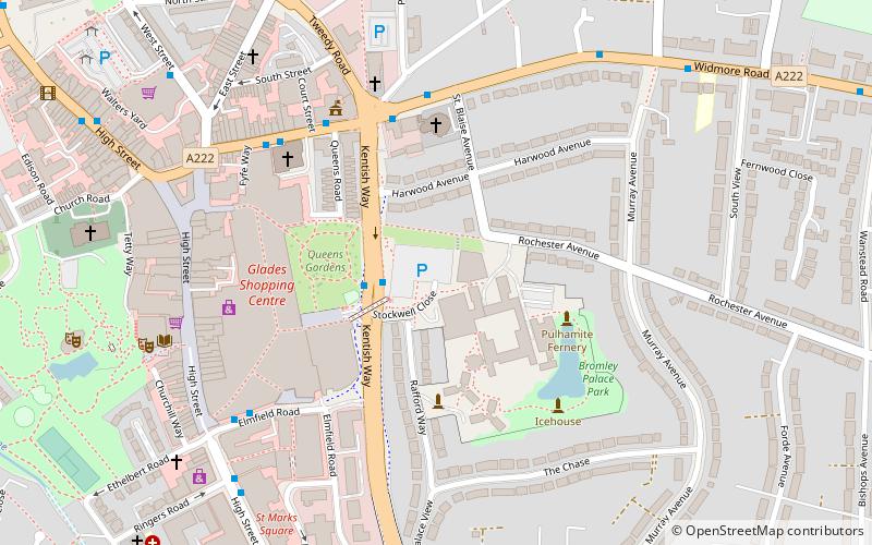
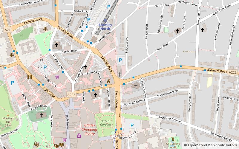
- Bestimmen Sie die RouteBromley Civic Centre 2 Min. Fußweg
- Bestimmen Sie die RouteWidmore Road / Kentish Way 4 Min. Fußweg
- Bestimmen Sie die RouteBromley Town Hall 5 Min. Fußweg
- Bestimmen Sie die RouteElmfield Road / The Mall 6 Min. Fußweg
- Bestimmen Sie die RouteBromley South 8 Min. Fußweg
- Bestimmen Sie die RouteBromley North 9 Min. Fußweg
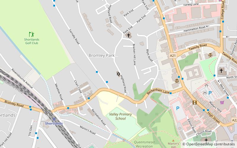
- Bestimmen Sie die RouteSundridge Park 17 Min. Fußweg
- Bestimmen Sie die RouteShortlands 20 Min. Fußweg
Tagesausflüge


Häufig gestellte Fragen (FAQ)
Welche beliebten Attraktionen gibt es in der Nähe?
Zu den nahe gelegenen Attraktionen gehören. Bromley Palace, Bromley (2 Min. Fußweg), Bromley Baptist Church, Bromley (5 Min. Fußweg), Churchill Theatre, Bromley (7 Min. Fußweg), St Peter and St Paul, London (8 Min. Fußweg).
Wie kommt man mit öffentlichen Verkehrsmitteln dorthin?
Bahnhöfe und Haltestellen in der Umgebung von London Borough of Bromley:
Busse
Bahn
Busse
- Bromley Civic Centre • Linien: 119, 126, 138, 146, 162, 208, 246, 261, 314, 320, 336, 352, 358, 367, 61, 638, N199, N3 (2 Min. Fußweg)
- Widmore Road / Kentish Way • Linien: 162, 269 (4 Min. Fußweg)
Bahn
- Bromley South (8 Min. Fußweg)
- Bromley North (9 Min. Fußweg)