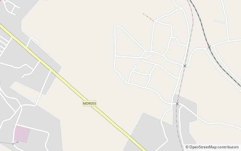
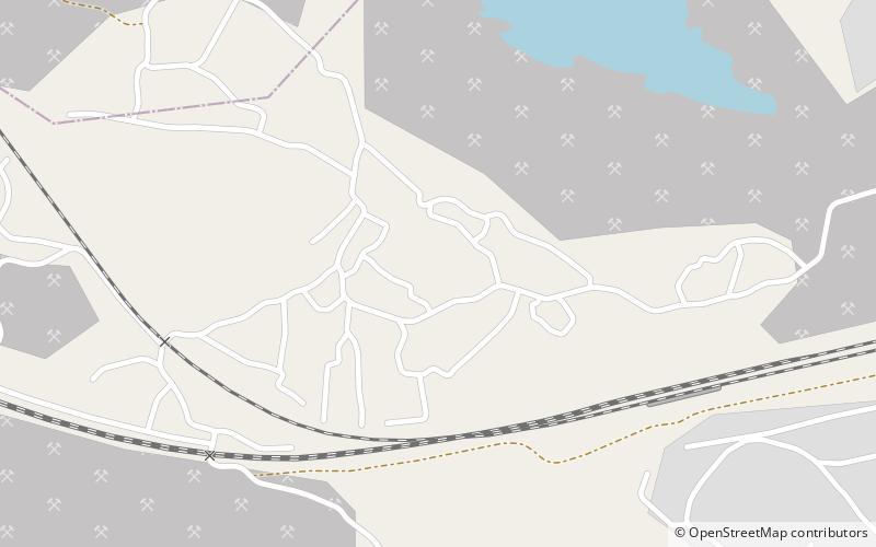
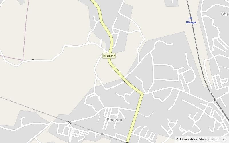
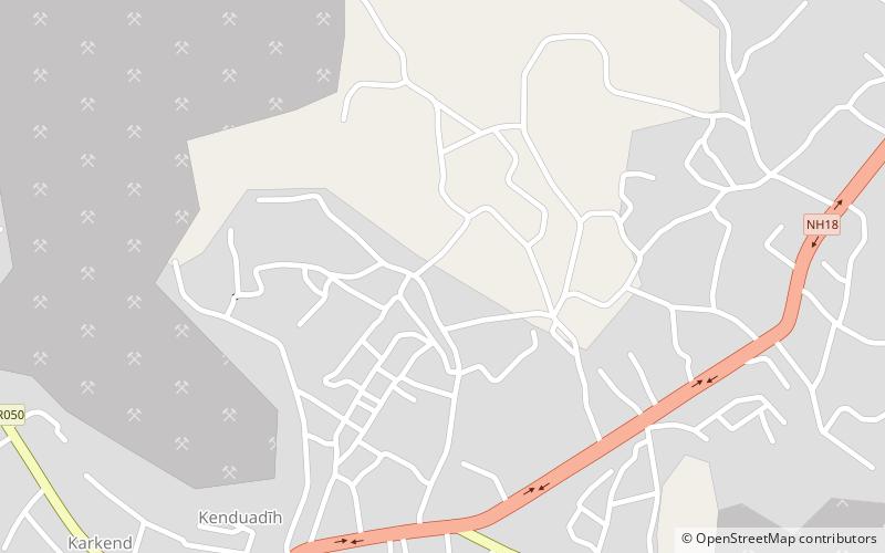
Trek Zone

Baliari, Dhanbad

Nr. 14 unter den Attraktionen in Dhanbad

Nachbarschaft
Baliari location map
Karte

Fakten und Informationen

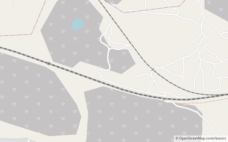
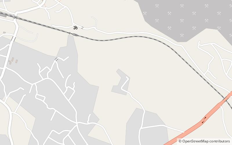
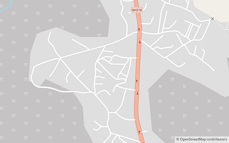
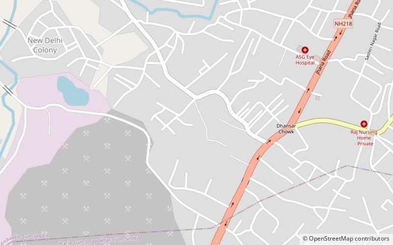
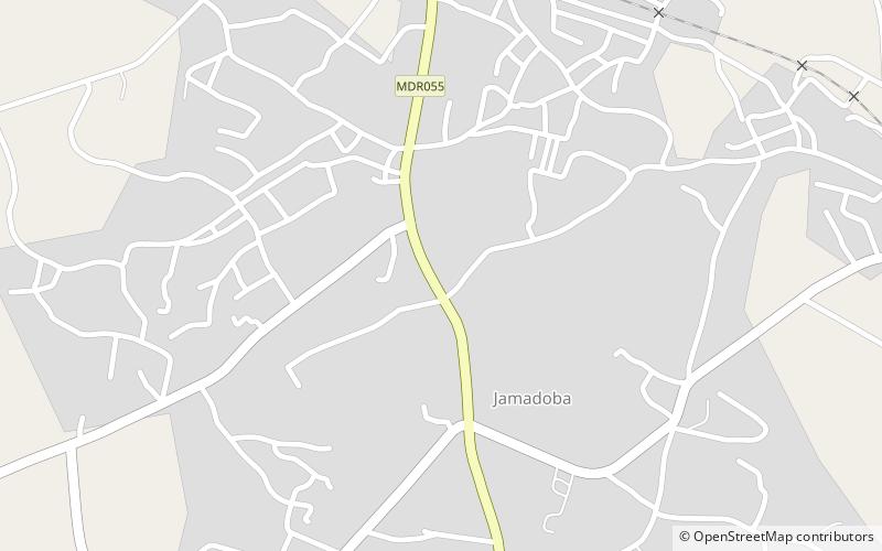
Baliari ist ein Stadtteil von Dhanbad in der Dhanbad Sadar Subdivision des Dhanbad Distrikts im Bundesstaat Jharkhand, Indien.

Andere Namen: Koordinaten: 23°45'29"N, 86°22'8"E
Adresse

Dhanbad Indien

KontaktHinzufügen
Soziale Medien
Hinzufügen
Tagesausflüge

Baliari – beliebt in der gegend (entfernung vom objekt)

In der Nähe befinden sich unter anderem Attraktionen wie: Bhuli, Jamadoba, Kenduadih, Basaria.

  • bhuli dhanbad location map
    2.3 miN
  • jamadoba dhanbad location map
    3.3 miSE
  • kenduadih dhanbad location map
    1.7 miNE
  • basaria dhanbad location map
    2.1 miN
  • bhowrah dhanbad location map
    3.3 miSE
  • chhotaputki dhanbad location map
    1 miNW
  • bhagatdih dhanbad location map
    2.6 miE
  • dhaunsar dhanbad location map
    3 miNE
  • jorapokhar dhanbad location map
    3.9 miSE
  • kustai dhanbad location map
    1.3 miE
  • chhatatanr dhanbad location map
    3.2 miW

Häufig gestellte Fragen (FAQ)

Wie kommt man mit öffentlichen Verkehrsmitteln dorthin?

Bahnhöfe und Haltestellen in der Umgebung von Baliari:

Bahn
  • Karkend (15 Min. Fußweg)
  • Layabad (42 Min. Fußweg)

Wohin als nächstes? Gehen Sie auf die Seite der Region jharkhand Jharkhand oder sehen Sie sich alle Orte und Sehenswürdigkeiten in Indien an.