Trek Zone

Hortelã, São Nicolau

Nr. 15 unter den Attraktionen in São Nicolau

Besichtigung
Hortelã location map
Karte

Fakten und Informationen

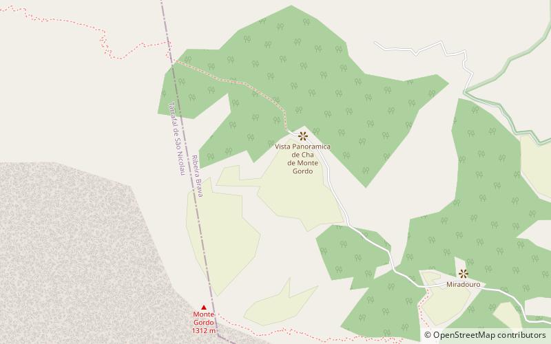
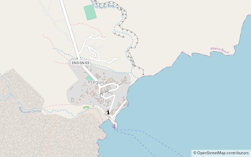
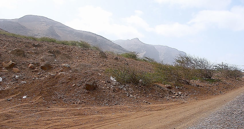
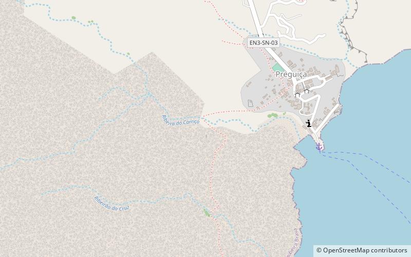
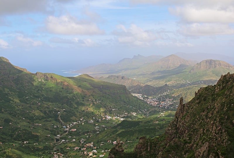
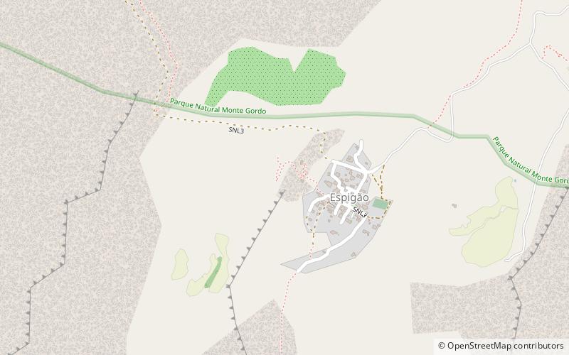
Hortelã ist eine Siedlung im westlichen Teil der Insel São Nicolau, Kap Verde. Im Jahr 2010 betrug die Einwohnerzahl 181. Sie liegt am Südfuß des Monte Gordo, 5 km nördlich von Tarrafal de São Nicolau und 6 km westlich von Ribeira Brava.

Andere Namen: Koordinaten: 16°36'43"N, 24°21'18"W
Adresse

São Nicolau Kap Verde

KontaktHinzufügen
Soziale Medien
Hinzufügen
Tagesausflüge

Hortelã – beliebt in der gegend (entfernung vom objekt)

In der Nähe befinden sich unter anderem Attraktionen wie: Monte Gordo, Forte do Príncipe Real, Preguiça, Monte Gordo.

  • monte gordo cova ribeira da torre paul natural park location map
    0.9 miN
  • forte do principe real sao nicolau location map
    6 miSE
  • preguica sao nicolau6 miSE
  • monte gordo sao nicolau2.6 miN
  • praia branca sao nicolau location map
    2.9 miNW
  • ponta do barril4.7 miW
  • preguica lighthouse sao nicolau location map
    5.8 miSE
  • talho sao nicolau3 miE
  • caleijao sao nicolau location map
    3.2 miE
  • faja de baixo sao nicolau location map
    3 miNE
  • estadio joao de deus lopes da silva sao nicolau3.7 miE

Wohin als nächstes? Gehen Sie auf die Seite der Region tarrafal de sao nicolau Tarrafal de São Nicolau oder sehen Sie sich alle Orte und Sehenswürdigkeiten in Kap Verde an.