Trek Zone

Morro Branco, São Vicente
Nr. 13 unter den Attraktionen in São Vicente

Nachbarschaft
Morro Branco location map
Karte

Fakten und Informationen

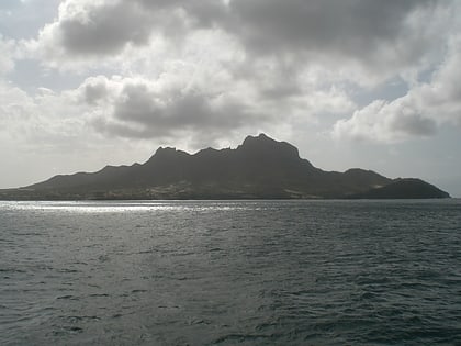
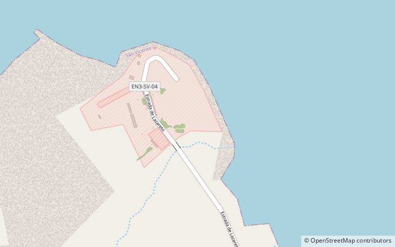
Der Morro Branco ist ein Mittelgebirge im Nordwesten der Insel São Vicente. Seine Höhe beträgt 86 m. Er liegt am westlichen Ende der Bucht von Porto Grande, 4 km westlich des Stadtzentrums von Mindelo. In den 1920er Jahren wurden auf dem Berg militärische Anlagen errichtet.

Koordinaten: 16°53'1"N, 25°1'33"W
Adresse

São Vicente Kap Verde

KontaktHinzufügen
Soziale Medien
Hinzufügen
Tagesausflüge

Morro Branco – beliebt in der gegend (entfernung vom objekt)

In der Nähe befinden sich unter anderem Attraktionen wie: Praça Amílcar Cabral, Pro-Cathedral of Our Lady of the Light, Monte Cara, Centro Nacional de Artesanato.
  • praca amilcar cabral mindelo2.5 miE
  • pro cathedral of our lady of the light mindelo2.5 miE
  • monte cara sao vicente1 miSW
  • centro nacional de artesanato mindelo2.6 miE
  • laginha mindelo2.2 miE
  • avenida marginal sao vicente2.4 miE
  • pacos do concelho mindelo location map
    2.5 miE
  • diogo afonso mindelo2.4 miE
  • monte sao joao mindelo location map
    2.4 miSE
  • don luis lighthouse sao vicente2 miNE
  • estadio municipal aderito sena mindelo2.7 miE

Wohin als nächstes? Gehen Sie auf die Seite der Region sao vicente São Vicente oder sehen Sie sich alle Orte und Sehenswürdigkeiten in Kap Verde an.