Tintipán Island

Galerie (1)
Karte
Karte
Fakten und Informationen
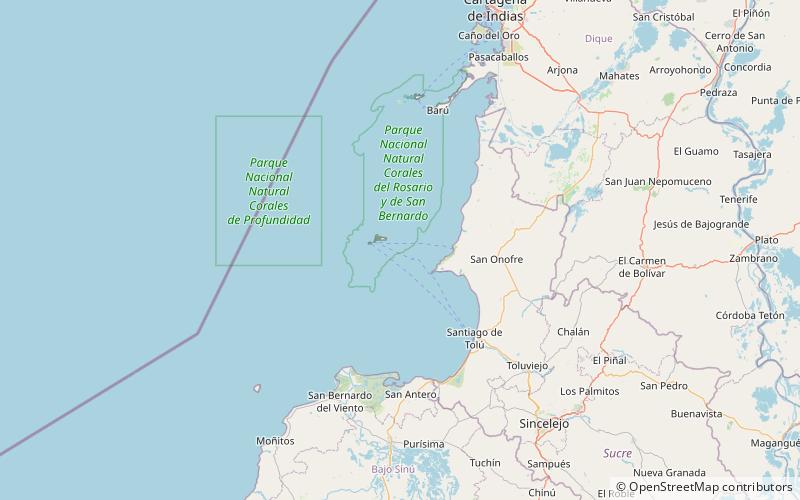
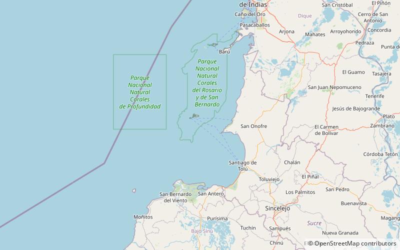
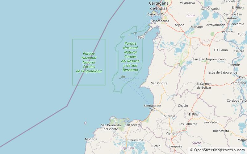
Die Insel Tintipán ist eine Koralleninsel im Archipel von San Bernardo, Golf von Morrosquillo, Karibisches Meer. Sie wird von Kolumbien als Teil des Departements Bolívar verwaltet.
Archipel: San BernardoKoordinaten: 9°47'38"N, 75°50'33"W
Lokalisierung
Sucre
KontaktHinzufügen
Soziale Medien
Hinzufügen
Tagesausflüge