Iztaccíhuatl, Iztaccíhuatl–Popocatépetl National Park

Galerie (3)
Karte
Karte
Galerie
Fakten und Informationen
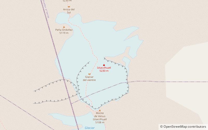
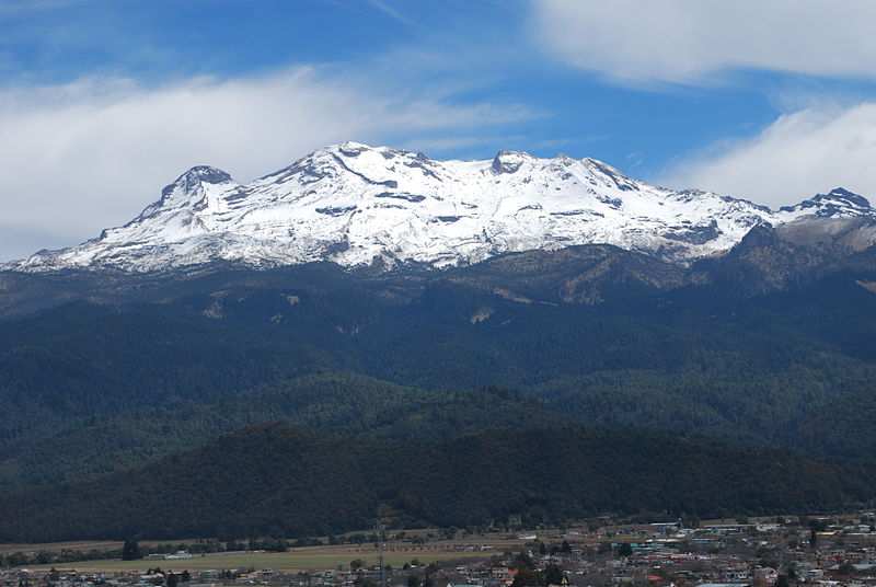
Der Iztaccíhuatl ist mit 5230 m der dritthöchste Berg Mexikos nach dem Citlaltépetl und dem Popocatépetl. ()
Andere Namen: Erster Aufstieg: 1889Höhenlage: 17159 ftDie Prominenz des Gipfels: 5020 ftKoordinaten: 19°10'13"N, 98°38'15"W
Adresse
Iztaccíhuatl–Popocatépetl National Park
KontaktHinzufügen
Soziale Medien
Hinzufügen
Tagesausflüge