San Pedro de los Pinos, Mexiko-Stadt
Karte
Galerie
Fakten und Informationen
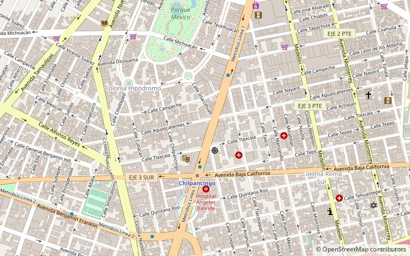
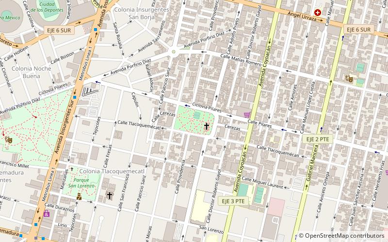
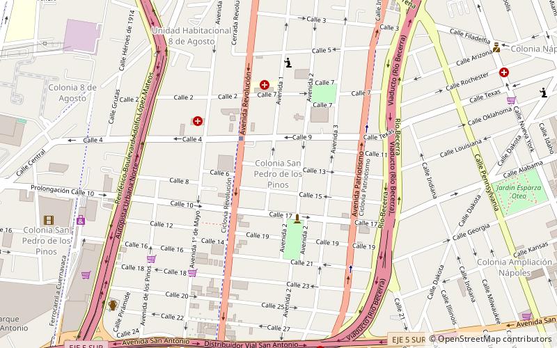
San Pedro de los Pinos ist ein Stadtviertel von Mexiko-Stadt. Es befindet sich im südwestlichen Teil des Bezirks Benito Juárez und liegt etwa zwei bis drei Kilometer Luftlinie südlich des Castillo de Chapultepec. ()
Adresse
Benito Juárez (San Pedro de los Pinos)Mexiko-Stadt
KontaktHinzufügen
Soziale Medien
Hinzufügen
Tagesausflüge
San Pedro de los Pinos – beliebt in der gegend (entfernung vom objekt)
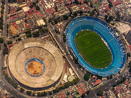
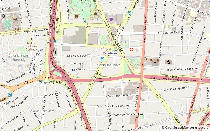
In der Nähe befinden sich unter anderem Attraktionen wie: Estadio Azul, Plaza de Toros México, World Trade Center, World Trade Center Islamabad.
Häufig gestellte Fragen (FAQ)
Welche beliebten Attraktionen gibt es in der Nähe?
Zu den nahe gelegenen Attraktionen gehören. Mixcoac, Mexiko-Stadt (11 Min. Fußweg), World Trade Center, Mexiko-Stadt (19 Min. Fußweg), World Trade Center Mexico City, Mexiko-Stadt (19 Min. Fußweg), Tacubaya, Mexiko-Stadt (20 Min. Fußweg).
Wie kommt man mit öffentlichen Verkehrsmitteln dorthin?
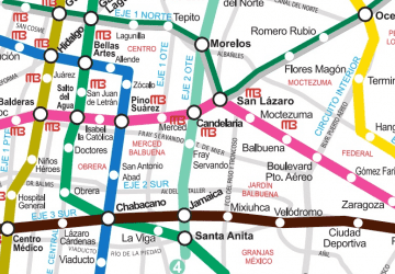
Bahnhöfe und Haltestellen in der Umgebung von San Pedro de los Pinos:
Metro
Busse
Bahn
Metro
- San Pedro de los Pinos • Linien: 7 (3 Min. Fußweg)
- San Antonio • Linien: 7 (11 Min. Fußweg)
Busse
- Colonia del Valle • Linien: Mb L1 (18 Min. Fußweg)
- Nápoles • Linien: Mb L1 (19 Min. Fußweg)
Bahn
- Mixcoac (25 Min. Fußweg)
- Observatorio (30 Min. Fußweg)

 Metro
Metro