Iztacalco, Mexiko-Stadt
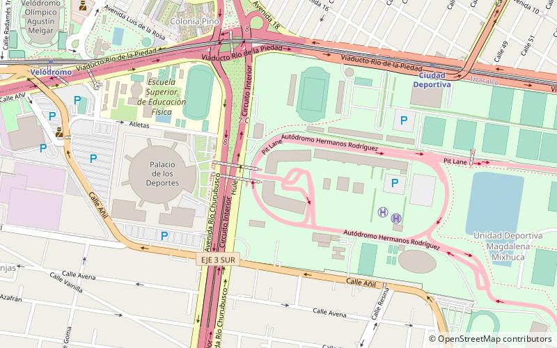
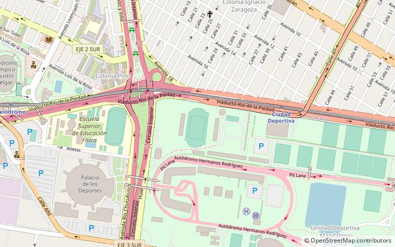
Karte
Galerie
Fakten und Informationen
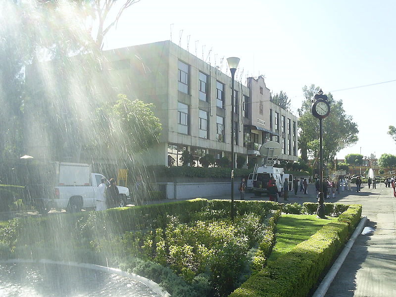
Iztacalco ist mit einer Fläche von 23,2 km² der kleinste der 16 Bezirke von Mexiko-Stadt. ()
Adresse
Iztacalco (Gabriel Ramos Millan Sección Bramadero)Mexiko-Stadt
Kontakt
Soziale Medien
Hinzufügen
Tagesausflüge
Iztacalco – beliebt in der gegend (entfernung vom objekt)
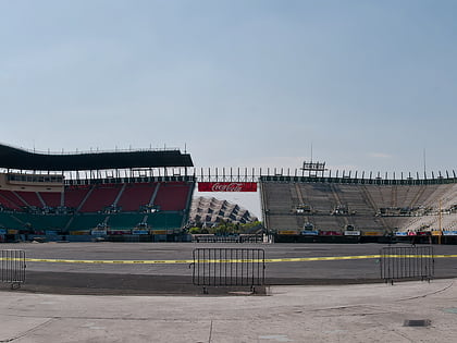
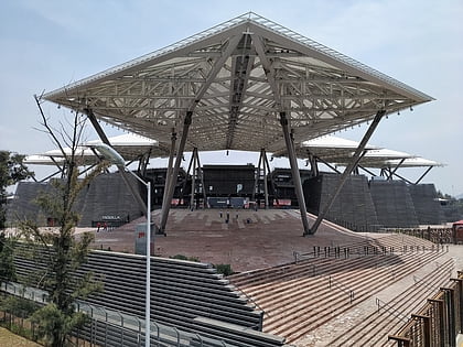
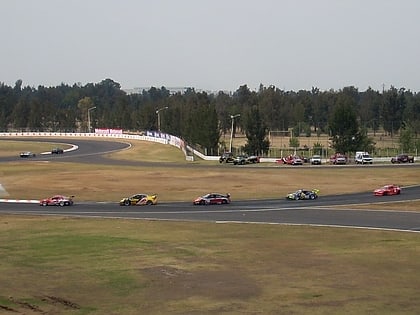
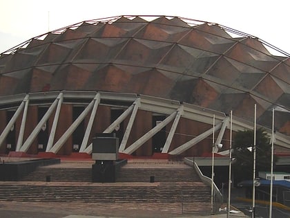
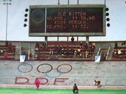
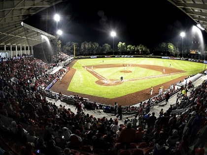
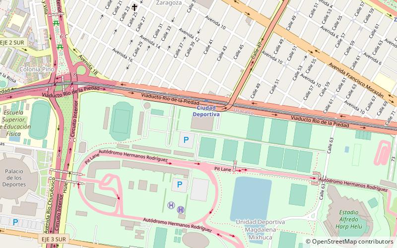
In der Nähe befinden sich unter anderem Attraktionen wie: Foro Sol, Estadio Alfredo Harp Helú, Ciudad Deportiva Magdalena Mixhuca, Autódromo Hermanos Rodríguez.
Häufig gestellte Fragen (FAQ)
Welche beliebten Attraktionen gibt es in der Nähe?
Zu den nahe gelegenen Attraktionen gehören. Foro Sol, Mexiko-Stadt (16 Min. Fußweg), Ciudad Deportiva Magdalena Mixhuca, Mexiko-Stadt (16 Min. Fußweg), Autódromo Hermanos Rodríguez, Mexiko-Stadt (19 Min. Fußweg).
Wie kommt man mit öffentlichen Verkehrsmitteln dorthin?
Bahnhöfe und Haltestellen in der Umgebung von Iztacalco:
Busse
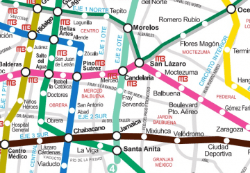
Metro
Bahn
Busse
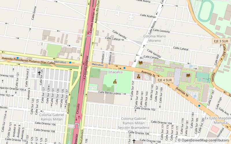
- Iztacalco • Linien: Línea 2 Tacubaya → Tepalcates, Línea 2 Tepalcates → Tacubaya (2 Min. Fußweg)
- Goma • Linien: Línea 2 Tacubaya → Tepalcates (6 Min. Fußweg)
Metro
- Ciudad Deportiva • Linien: 9 (24 Min. Fußweg)
- Velódromo • Linien: 9 (25 Min. Fußweg)
Bahn
- Zaragoza (37 Min. Fußweg)
 Metro
Metro