Entwicklungsregion Mitte, Kathmandu
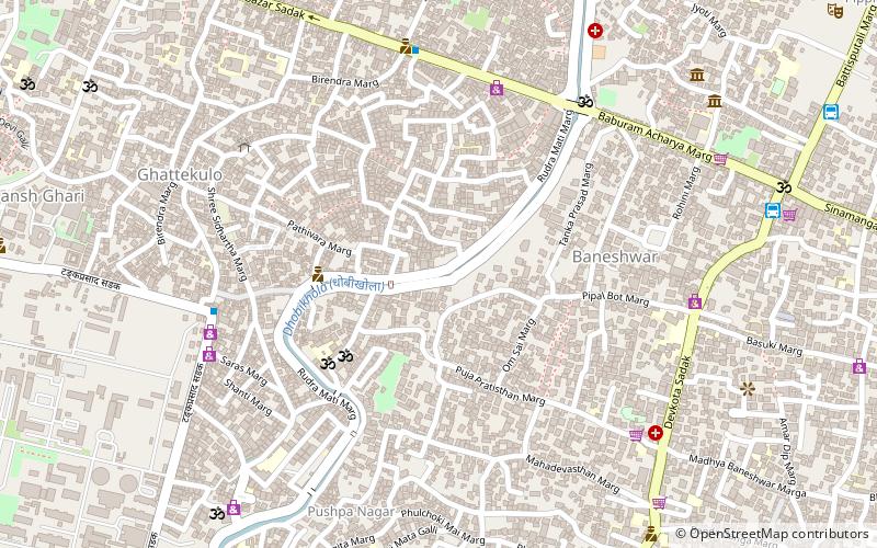
Karte
Fakten und Informationen
Die Entwicklungsregion Mitte war eine von fünf Entwicklungsregionen in Nepal. ()
Adresse
Kathmandu
KontaktHinzufügen
Soziale Medien
Hinzufügen
Zugang mit öffentlichen Verkehrsmitteln
Haltestellen der öffentlichen Verkehrsmittel in der Nähe des Standorts
- Busse
 Busse
Busse
- Bestimmen Sie die RouteOld Baneshwar Tempo Station 11 Min. Fußweg
- Bestimmen Sie die RouteOld Baneshwor Station One 13 Min. Fußweg
- Bestimmen Sie die RouteTurning 18 Min. Fußweg
- Bestimmen Sie die RouteBaneshwar Bus Station 20 Min. Fußweg
Tagesausflüge
Entwicklungsregion Mitte – beliebt in der gegend (entfernung vom objekt)
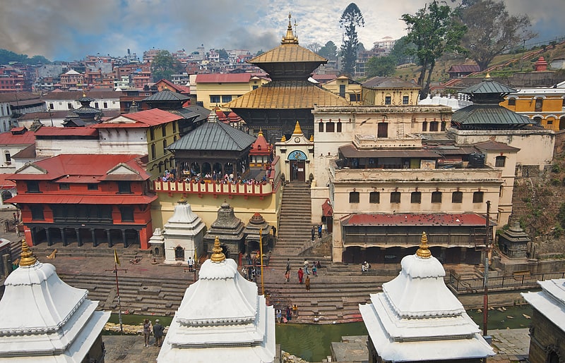
In der Nähe befinden sich unter anderem Attraktionen wie: Pashupatinath, Dasarath Rangasala Stadium, Charumati Stupa, Aircraft Museum Kathmandu.


Häufig gestellte Fragen (FAQ)
Welche beliebten Attraktionen gibt es in der Nähe?
Zu den nahe gelegenen Attraktionen gehören. Singha Durbar, Kathmandu (13 Min. Fußweg), Gyaneshwar, Kathmandu (18 Min. Fußweg), Islington College, Kathmandu (19 Min. Fußweg), Nepal Art Council Gallery, Kathmandu (21 Min. Fußweg).
Wie kommt man mit öffentlichen Verkehrsmitteln dorthin?
Bahnhöfe und Haltestellen in der Umgebung von Entwicklungsregion Mitte:
Busse
Busse
- Old Baneshwar Tempo Station (11 Min. Fußweg)
- Old Baneshwor Station One (13 Min. Fußweg)