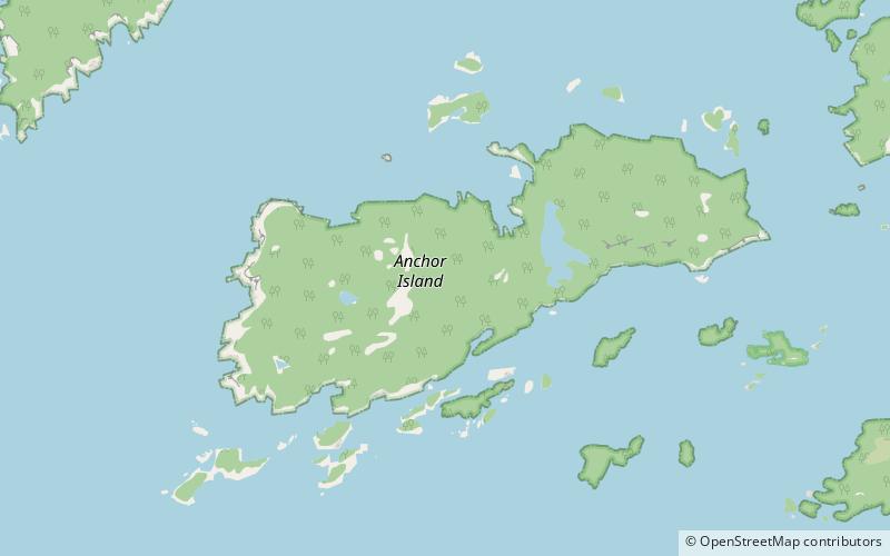
Anchor Island

Galerie (2)
Karte
Karte
Galerie
Fakten und Informationen
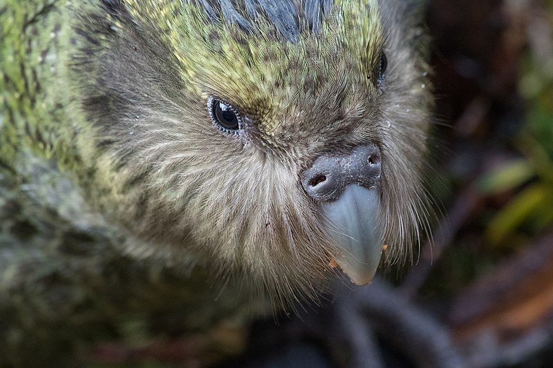
Anchor Island ist eine Insel im Tamatea / Dusky Sound im Fiordland-Nationalpark im Southland District in Neuseeland. Die Insel hat eine Fläche von 1380 Hektar, eine Höhe von 417 m und ist 2,5 km vom Festland entfernt. Sie wird vom Department of Conservation als Schutzgebiet für gefährdete Vogelarten wie Tieke und Kakapo genutzt. Der Kakapo kommt außer auf Anchor Island nur noch auf Codfish Island / Whenua Hou vor. ()
Lokalisierung
Southland
KontaktHinzufügen
Soziale Medien
Hinzufügen