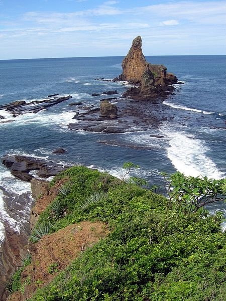
Rancho Majagual

Galerie (2)
Karte
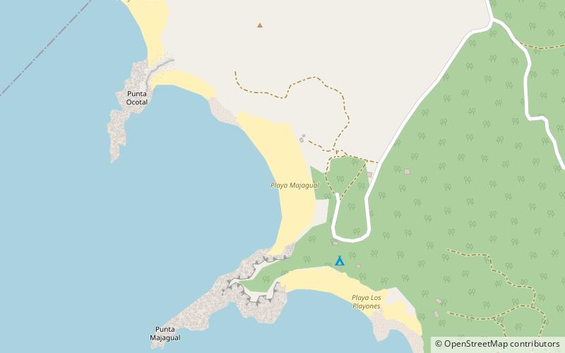
Karte
Galerie
Fakten und Informationen
Rancho Majagual (Adresse: Playa Majagual) ist eine Attraktion in Nicaragua und gehört zur Kategorie Strand.
Es liegt auf einer Höhe von 3 ft, und seine geographischen Koordinaten sind 11°18'1"N Breite und 85°54'59"W Länge.
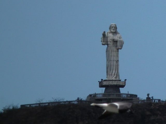
Weitere sehenswerte Orte und Attraktionen in der Nähe sind unter anderem: Villas Playa Maderas (Strand, 19 Min. Fußweg), Christ of the MercySan Juan del Sur (Aussichtspunkt, 90 Min. Fußweg).
Koordinaten: 11°18'1"N, 85°54'59"W
Tagesausflüge