Trek Zone

Cule

Nr. 353 in der Beliebtheitsskala in Peru

Natur, Natürliche Anziehungskraft, Berg
Cule location map
Karte

Fakten und Informationen

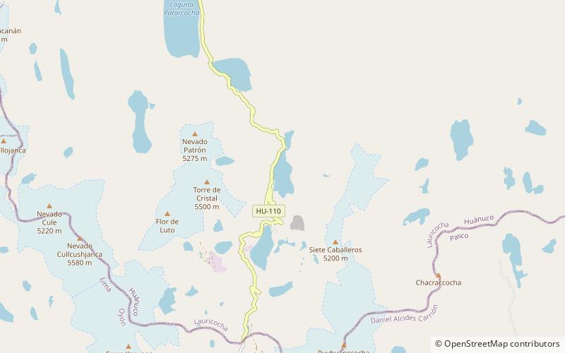
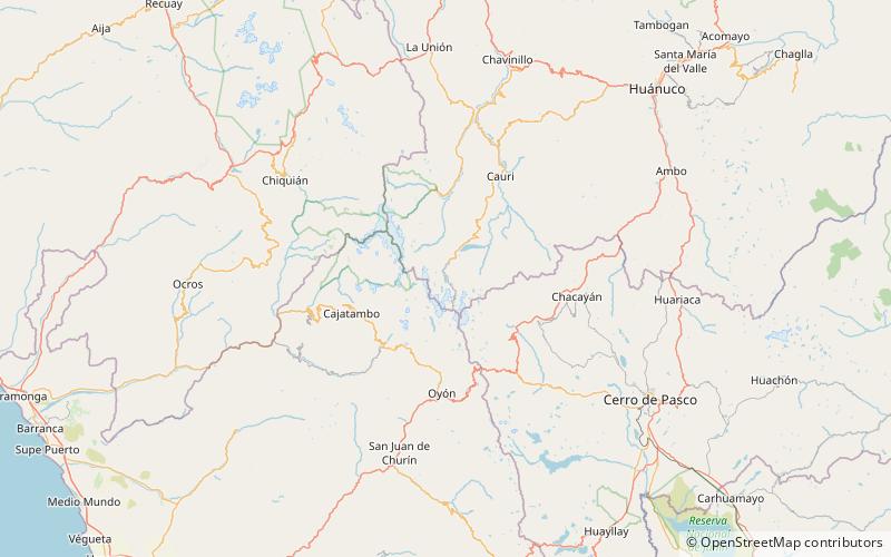
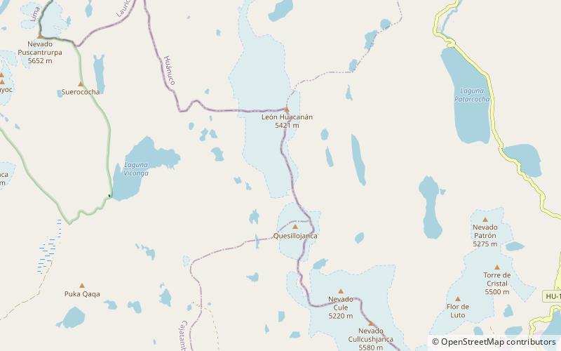
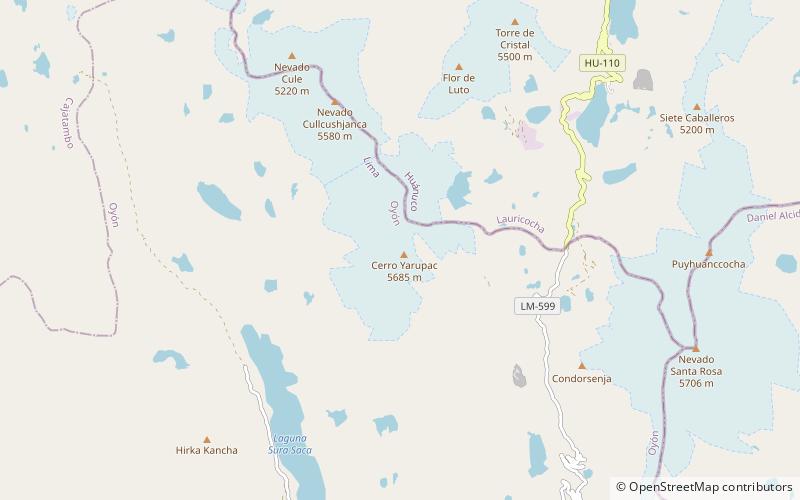
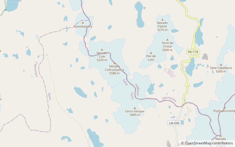
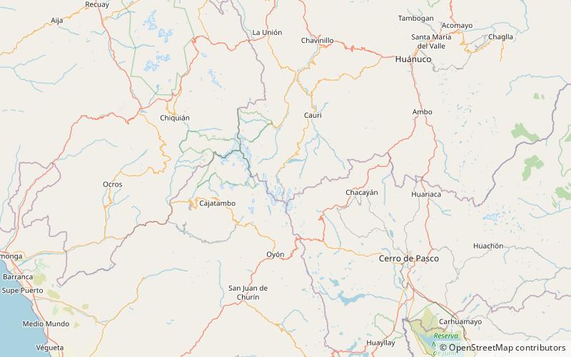
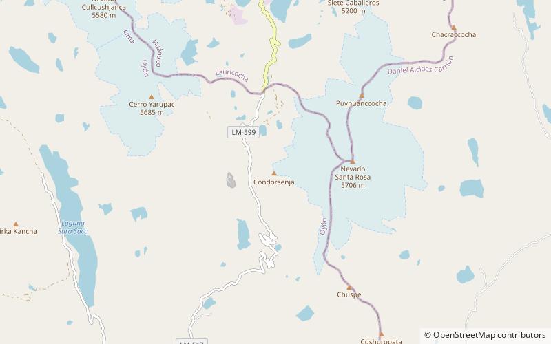
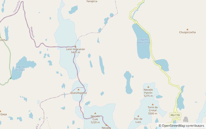
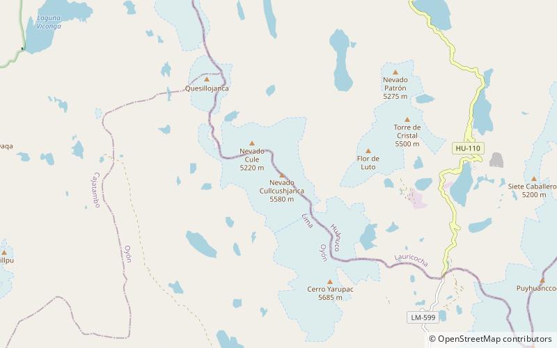
Cule, Kuli oder Rumiwain ist ein Berg, der an der Grenze zwischen den Regionen Huanuco und Lima in Peru liegt. Er hat eine Höhe von 5.580 Metern. Er gehört zur Raura-Bergkette, die Teil der peruanischen Anden ist.

Höhenlage: 16667 ftKoordinaten: 10°26'38"S, 76°47'9"W
Lokalisierung

LimaPeru

Kontakt
Soziale Medien
Hinzufügen
Tagesausflüge

Cule – beliebt in der gegend (entfernung vom objekt)

In der Nähe befinden sich unter anderem Attraktionen wie: Lake Tinquicocha, Lake Patarcocha, Colorcocha, Quesillojanca.

  • lake tinquicocha location map
    3.5 miE
  • lake patarcocha location map
    4.1 miNE
  • colorcocha location map
    4.9 miW
  • quesillojanca location map
    2.8 miNW
  • yarupac location map
    1.9 miSE
  • cordillera raura location map
    0.5 miS
  • puyhuanccocha location map
    4.8 miE
  • chuspiccocha location map
    5.7 miNE
  • suyruqucha location map
    6.2 miNW
  • condorsenja location map
    4.3 miSE
  • lake huascacocha location map
    2.7 miN

Wohin als nächstes? Gehen Sie auf die Seite der Region lima Lima oder sehen Sie sich alle Orte und Sehenswürdigkeiten in Peru an.