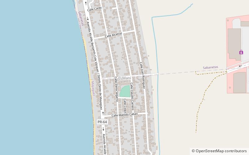
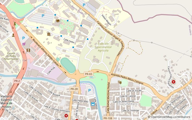
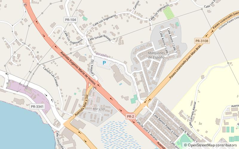
Trek Zone

El Maní

Nr. 120 in der Beliebtheitsskala in Puerto Rico

Nachbarschaft
El Maní location map
Karte

Fakten und Informationen

El Maní ist eine Gemeinde an der Küste im Barrio Sabanetas von Mayagüez auf der Insel Puerto Rico. Dort befindet sich der Pavillon El Mani.

Koordinaten: 18°14'26"N, 67°10'17"W
Lokalisierung

MayagüezPuerto Rico

KontaktHinzufügen
Soziale Medien
Tagesausflüge

El Maní – beliebt in der gegend (entfernung vom objekt)

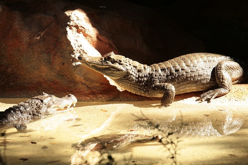
In der Nähe befinden sich unter anderem Attraktionen wie: Dr. Juan A. Rivero Zoo, Tropical Agricultural Research Station, Puente de Añasco, Mayagüez Resort & Casino.

  • dr juan a rivero zoo mayaguez3.2 miSE
  • tropical agricultural research station mayaguez location map
    3.1 miSE
  • puente de anasco2.3 miN
  • mayaguez resort casino location map
    1.8 miSE
  • teatro yaguez mayaguez3.4 miSE
  • parque de los proceres mayaguez3.2 miSE
  • university of puerto rico at mayaguez2.6 miSE
  • parque del litoral mayaguez3 miSE
  • port of mayaguez1.7 miSE
  • isidoro garcia stadium mayaguez3.5 miS
  • museo casa pilar defillo espacio cultural pablo casals mayaguez3.3 miSE

Wohin als nächstes? Gehen Sie auf die Seite der Region mayaguez Mayagüez oder sehen Sie sich alle Orte und Sehenswürdigkeiten in Puerto Rico an.