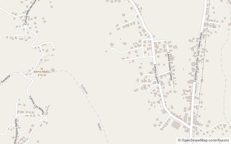
Trek Zone

Collores, Humacao

Nr. 6 unter den Attraktionen in Humacao

Besichtigung
Collores location map
Karte

Fakten und Informationen

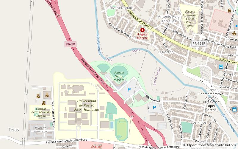
Collores ist ein Barrio in der Gemeinde Humacao, Puerto Rico. Die Einwohnerzahl betrug im Jahr 2010 2.770.

Andere Namen: Koordinaten: 18°10'29"N, 65°49'13"W
Adresse

Humacao Puerto Rico

KontaktHinzufügen
Soziale Medien
Hinzufügen
Tagesausflüge

Collores – beliebt in der gegend (entfernung vom objekt)

In der Nähe befinden sich unter anderem Attraktionen wie: Concatedral Dulce Nombre de Jesús, Casa Roig Museum, Bridge No. 122, Cueva del Indio.

  • concatedral dulce nombre de jesus humacao1.7 miS
  • casa roig museum humacao1.9 miS
  • bridge no 122 humacao1.9 miS
  • cueva del indio las piedras location map
    3.8 miNW
  • emilio e huyke coliseum humacao location map
    2.1 miSW
  • tejas humacao location map
    2.5 miSW
  • parque de futbol colegio corazon de maria juncos location map
    6.7 miNW
  • nestor morales stadium humacao location map
    2 miSW

Wohin als nächstes? Gehen Sie auf die Seite der Region humacao Humacao oder sehen Sie sich alle Orte und Sehenswürdigkeiten in Puerto Rico an.