Sima de Alcorón

Galerie (1)
Karte
Karte
Fakten und Informationen
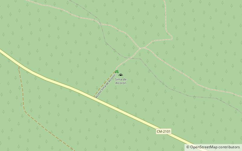
La sima de Alcorón ist eine Schlucht im Naturpark Alto Tajo und in der Gemeinde Villanueva de Alcorón.
Koordinaten: 40°41'16"N, 2°10'41"W
Lokalisierung
Kastilien-La Mancha
KontaktHinzufügen
Soziale Medien
Hinzufügen
Tagesausflüge
Sima de Alcorón – beliebt in der gegend (entfernung vom objekt)
In der Nähe befinden sich unter anderem Attraktionen wie: Zaorejas.
