Soufrière, St. Vincent
Galerie (1)
Karte
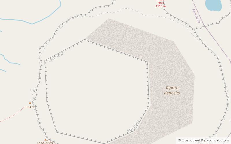
Karte
Fakten und Informationen
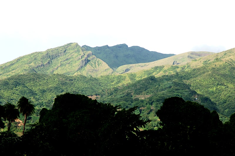
Der Soufrière ist ein aktiver Stratovulkan auf der Karibikinsel St. Vincent in den Westindischen Inseln und Kleinen Antillen. Er überragt mit einer Gipfelhöhe von 1220 m den nördlichen Inselteil und ist der höchste Berg von St. Vincent und den Grenadinen. ()
Andere Namen: La Soufrière Volcano Letzter Ausbruch: 1979Höhenlage: 4049 ftDie Prominenz des Gipfels: 4049 ftKoordinaten: 13°20'7"N, 61°10'57"W
Adresse
St. Vincent
KontaktHinzufügen
Soziale Medien
Hinzufügen