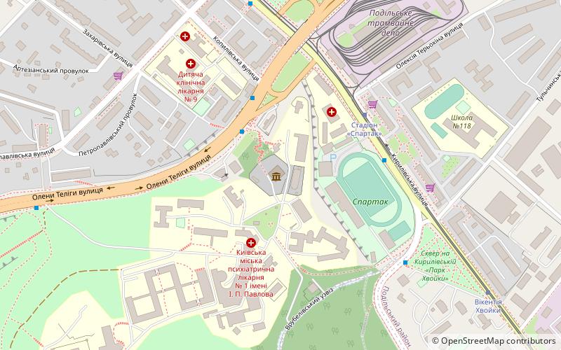
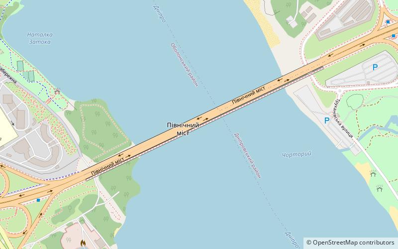
Rajon Obolon, Kiew
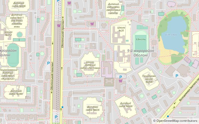
Karte
Fakten und Informationen
Zugang mit öffentlichen Verkehrsmitteln
Haltestellen der öffentlichen Verkehrsmittel in der Nähe des Standorts
- Metro
- Busse
- Trolleybusse
- Straßenbahnen
 Metro
Metro
- Bestimmen Sie die RouteObolonskyi prospekt 9 Min. Fußweg
- Bestimmen Sie die RouteVulytsia Pryrichna 9 Min. Fußweg
- Bestimmen Sie die RouteRaiderzhadministratsiia 10 Min. Fußweg
- Bestimmen Sie die RouteStantsiia metro Minska 10 Min. Fußweg
- Bestimmen Sie die RouteObolonskyi prospekt 9 Min. Fußweg
- Bestimmen Sie die RouteVulytsia Pryrichna 9 Min. Fußweg
- Bestimmen Sie die RouteStantsiia metro Heroiv Dnipra 11 Min. Fußweg
- Bestimmen Sie die RouteMinska 10 Min. Fußweg
- Bestimmen Sie die RouteHeroiv Dnipra 11 Min. Fußweg
- Bestimmen Sie die RouteObolon 28 Min. Fußweg
- Bestimmen Sie die RouteVulytsia Zoi Haidai 13 Min. Fußweg
- Bestimmen Sie die RouteStantsiia metro Minska 15 Min. Fußweg
Karten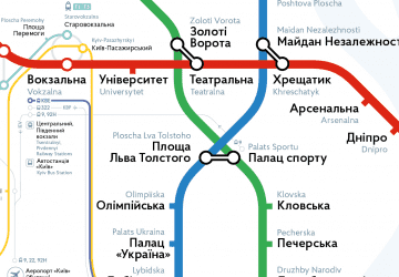 Metro
Metro
MetroTagesausflüge


Häufig gestellte Fragen (FAQ)
Wie kommt man mit öffentlichen Verkehrsmitteln dorthin?
Bahnhöfe und Haltestellen in der Umgebung von Rajon Obolon:
Busse
Trolleybusse
Metro
Straßenbahnen
Busse
- Obolonskyi prospekt • Linien: А88 (9 Min. Fußweg)
- Vulytsia Pryrichna • Linien: А88 (9 Min. Fußweg)
Trolleybusse
- Obolonskyi prospekt • Linien: 24, 34, 47 (9 Min. Fußweg)
- Vulytsia Pryrichna • Linien: 24, 34 (9 Min. Fußweg)
Metro
- Minska • Linien: M2 (10 Min. Fußweg)
- Heroiv Dnipra • Linien: M2 (11 Min. Fußweg)
Straßenbahnen
- Vulytsia Zoi Haidai • Linien: 16 (13 Min. Fußweg)
- Stantsiia metro Minska • Linien: 16 (15 Min. Fußweg)