Trek Zone

Bloody Canyon, Inyo National Forest

Nr. 22 unter den Attraktionen in Inyo National Forest

Natur, Natürliche Anziehungskraft, Canyon
Bloody Canyon location map
Karte

Fakten und Informationen

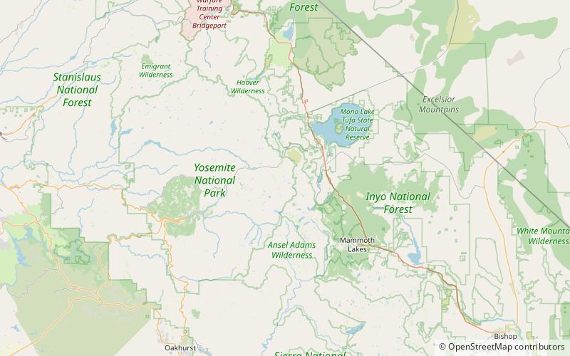
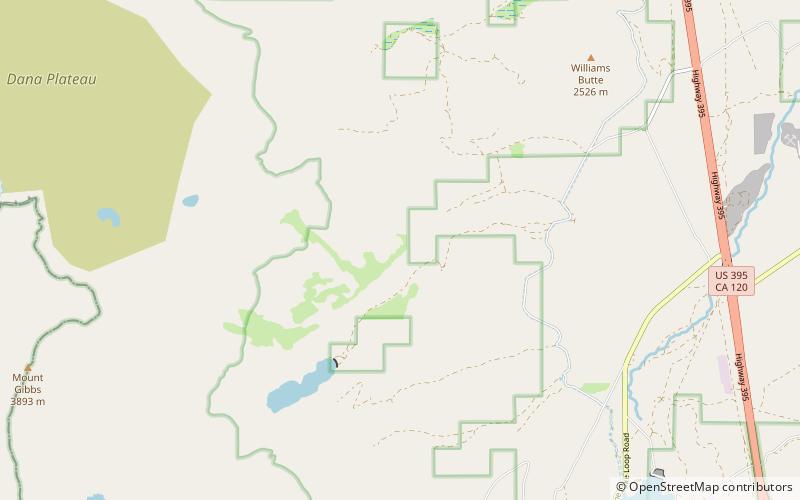
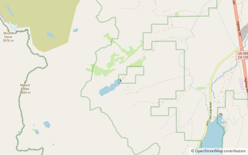
Bloody Canyon ist ein Tal im Mono County, Kalifornien, in den Vereinigten Staaten.

Der Canyon erhielt seinen Namen aufgrund des Blutes, das die Arbeitspferde an den zerklüfteten Felsen auf den steilen Pfaden des Canyons vergossen.

Koordinaten: 37°52'44"N, 119°9'25"W
Adresse

Inyo National Forest Vereinigte Staaten

KontaktHinzufügen
Soziale Medien
Hinzufügen
Tagesausflüge

Bloody Canyon – beliebt in der gegend (entfernung vom objekt)

In der Nähe befinden sich unter anderem Attraktionen wie: Tioga Lake, Mount Dana, Tioga Pass Entrance Station, Mono Basin National Scenic Area.

  • tioga lake yosemite nationalpark6.1 miNW
  • mount dana ansel adams wilderness3.8 miW
  • tioga pass entrance station yosemite nationalpark5.9 miW
  • mono basin national scenic area inyo national forest7.3 miNE
  • mount gibbs ansel adams wilderness3 miW
  • lee vining5.8 miN
  • kuna peak ansel adams wilderness5.4 miSW
  • bingaman lake yosemite nationalpark location map
    5.4 miSW
  • koip peak ansel adams wilderness5.1 miSW
  • tioga pass devils postpile national monument5.9 miW
  • bohler canyon inyo national forest location map
    1.1 miNE

Wohin als nächstes? Gehen Sie auf die Seite der Region kalifornien Kalifornien oder sehen Sie sich alle Orte und Sehenswürdigkeiten in den Vereinigten Staaten an.