Gravel Range, Stanislaus National Forest
Karte
Fakten und Informationen
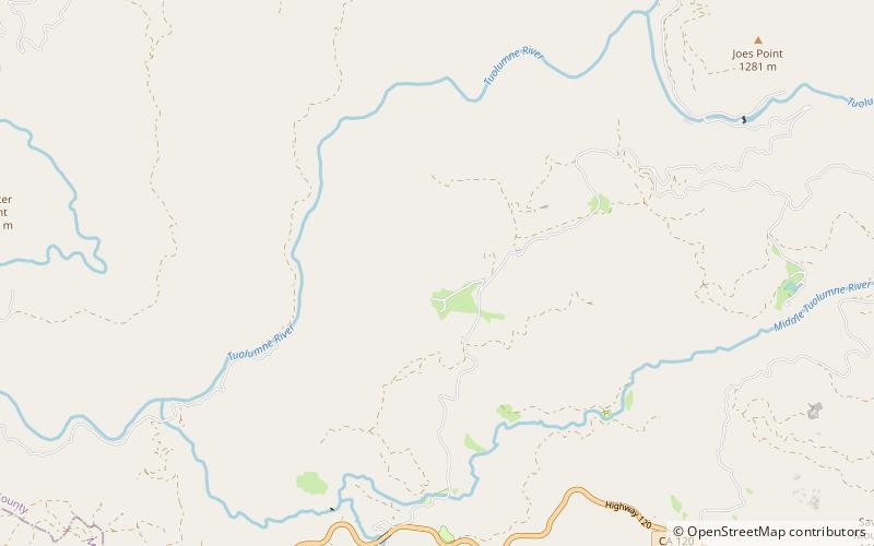
für die Bergkette im San Bernardino County, Kalifornien. Die Gravel Range ist ein Gebirgszug im Tuolumne County, Kalifornien.
Maximale Höhe: 3612 ftKoordinaten: 37°51'23"N, 120°0'18"W
Adresse
Stanislaus National Forest
KontaktHinzufügen
Soziale Medien
Hinzufügen