Kumbrabow State Forest, Monongahela National Forest
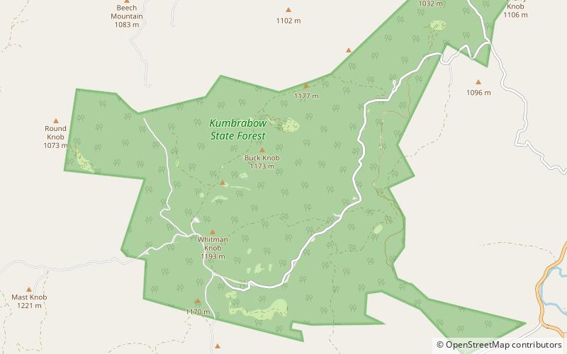
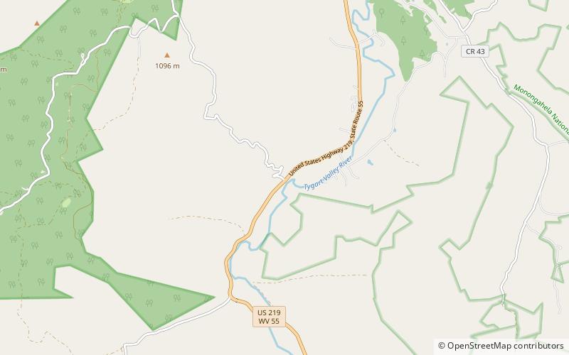
![Kumbrabow State Forest location map](https://tzmedia.b-cdn.net/media/images/static-maps/us/38_6386_-80_0983.jpg)
Karte
Fakten und Informationen
Der Kumbrabow State Forest ist ein Staatswald im südlichen Randolph County, West Virginia. Er hat eine Größe von 9.474 Acres.
Koordinaten: 38°38'19"N, 80°5'54"W
Tagesausflüge
Kumbrabow State Forest – beliebt in der gegend (entfernung vom objekt)
In der Nähe befinden sich unter anderem Attraktionen wie: Fort Marrow, Helvetia.