Berthoud Pass, Arapaho National Forest

Galerie (1)
Karte
Karte
Fakten und Informationen
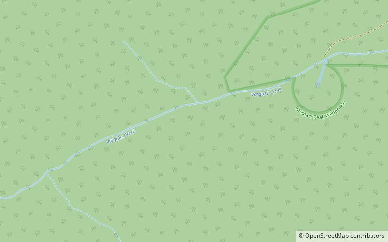
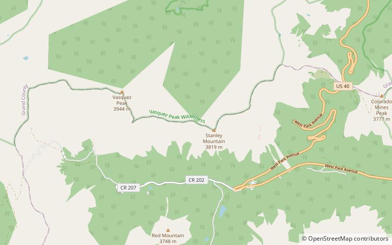
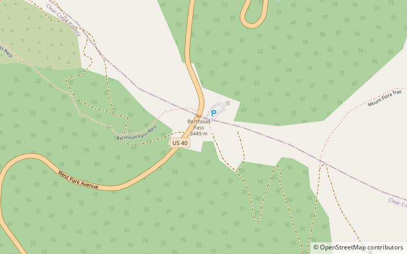
Der Berthoud Pass ist ein Gebirgspass im Zentrum des US-Bundesstaats Colorado. Der Pass liegt auf der Grenze der Countys Clear Creek County und Grand County und verläuft zwischen den Städten Fraser und Idaho Springs. ()
Maximale Höhe: 11307 ftKoordinaten: 39°47'52"N, 105°46'37"W
Adresse
Arapaho National Forest
KontaktHinzufügen
Soziale Medien
Hinzufügen
Tagesausflüge